Geospatial Data Tools

Instantly visualize home redesigns with realistic renderings.

Visualize and design your home with AI-generated transformations.
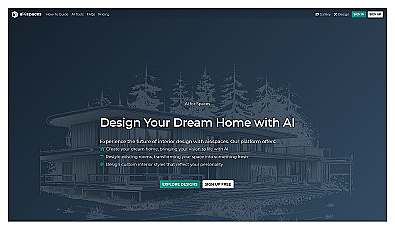
Create custom home designs using artificial intelligence.

Automated data analysis for engineering decision-making.
Generate dynamic fashion videos from images effortlessly.

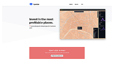
Unlock insights from geolocation data for smarter decisions.
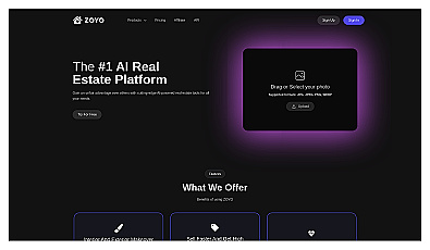
Real-time market insights for smarter real estate decisions.

Comprehensive location intelligence for businesses and applications.

Spatial data visualization and analysis for informed decision-making.

Create stunning animations using satellite imagery.

Intuitive map editing with AI-driven insights for all users.

Advanced AI for swift visual data analysis and monitoring.

Efficiently manage and analyze large geospatial datasets.

Geospatial AI for analyzing satellite and drone imagery.

Advanced mapping editor with AI features for accurate updates.
Transform tree management with AI-driven insights and analytics.

Advanced AI for fast analysis of geospatial imagery.