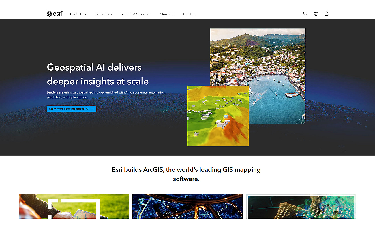
ArcGIS is a powerful system for visualizing and analyzing spatial data. It allows users to create detailed maps that highlight important patterns and trends.
Teams can share insights easily and collaborate on various projects.
By converting complex data into clear visuals, ArcGIS enhances understanding and supports effective planning and decision-making.
This system works seamlessly with many data sources, making it adaptable for various industries. Users apply ArcGIS for urban planning, environmental assessments, logistics optimization, and disaster response, among other uses. Its versatility and user-friendly features make it an essential tool for organizations focused on data-driven geographic insights.