Esri
Spatial data visualization and analysis for informed decision-making.
Spatial data visualization and analysis for informed decision-making.
Advanced image segmentation solution built on TensorFlow.
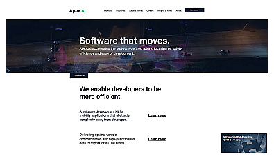
Streamlined software for safe, efficient mobility solutions.
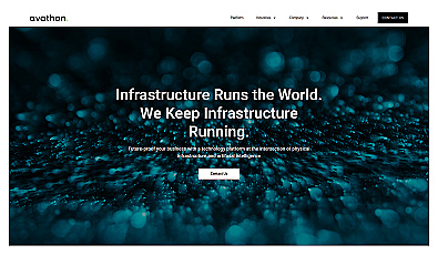
A system for optimizing infrastructure and enhancing safety.
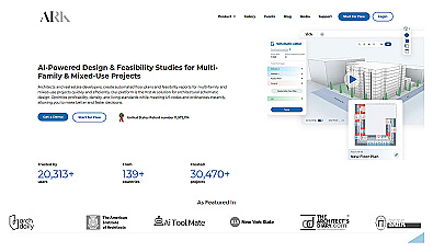
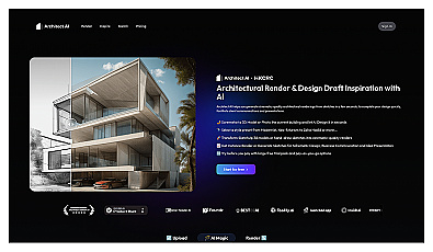
Automated design generation for architectural projects.
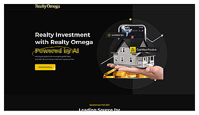
AI-driven insights for smart real estate investments.

Real-time image analysis for accurate object detection.

Transform scans into detailed 3D building models instantly.
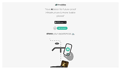
Urban planning tool promoting cyclist-friendly infrastructure improvements.

Geospatial AI for analyzing satellite and drone imagery.
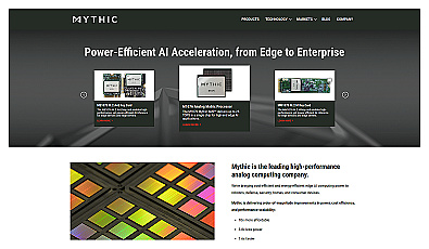
Analog computing technology for fast and efficient AI processing.

Advanced mapping editor with AI features for accurate updates.
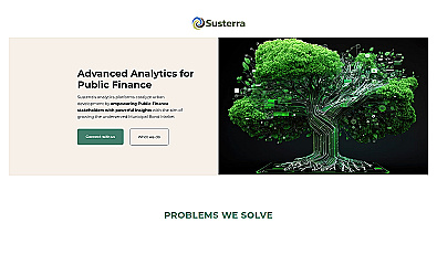
Advanced analytics for smarter public finance decision-making.

Advanced AI for fast analysis of geospatial imagery.