Mapwith.ai
Intuitive map editing with AI-driven insights for all users.
Free
Advanced mapping editor with AI features for accurate updates.
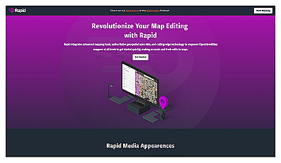
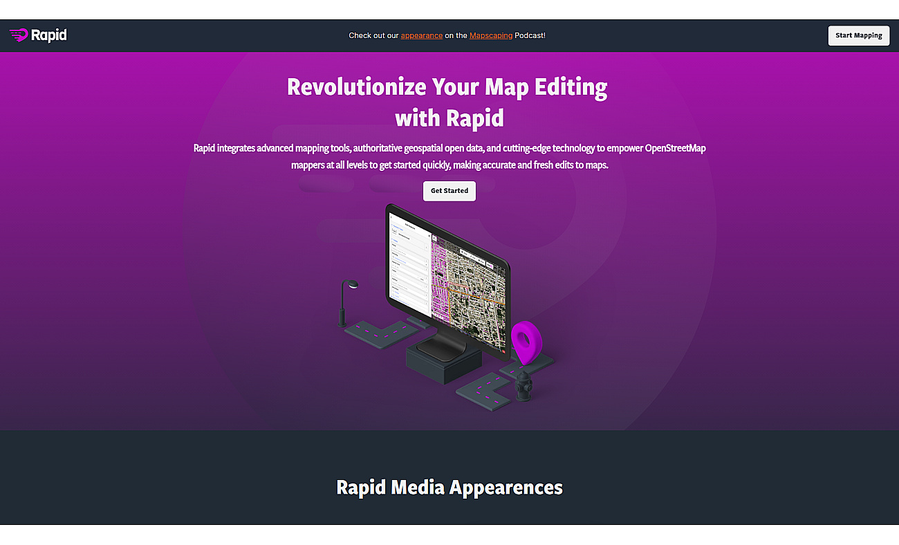
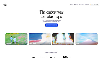
Rapid Editor is a mapping editor that combines advanced mapping tools and open data. It allows users to edit maps quickly and reliably, making it useful for both beginners and experts.
The interface is user-friendly, ensuring easy navigation.
By utilizing AI technology, Rapid Editor enhances the accuracy of map editing while saving time. This platform supports various mapping projects, including disaster response, urban development, and humanitarian efforts. Users can analyze satellite imagery and create community maps, fostering collaboration and informed decision-making.
With access to open geospatial data, Rapid Editor improves the overall mapping experience significantly.
Based on overlapping tasks and related categories.
Intuitive map editing with AI-driven insights for all users.
Health coverage made easy for individuals and businesses.

Create stunning animations using satellite imagery.
Create stunning interactive maps without coding skills.
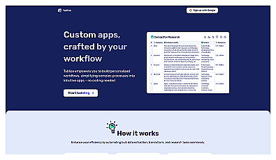
Create custom workflows without coding skills.
Discover other similar tools and compare features