Rapideditor
Advanced mapping editor with AI features for accurate updates.
Intuitive map editing with AI-driven insights for all users.
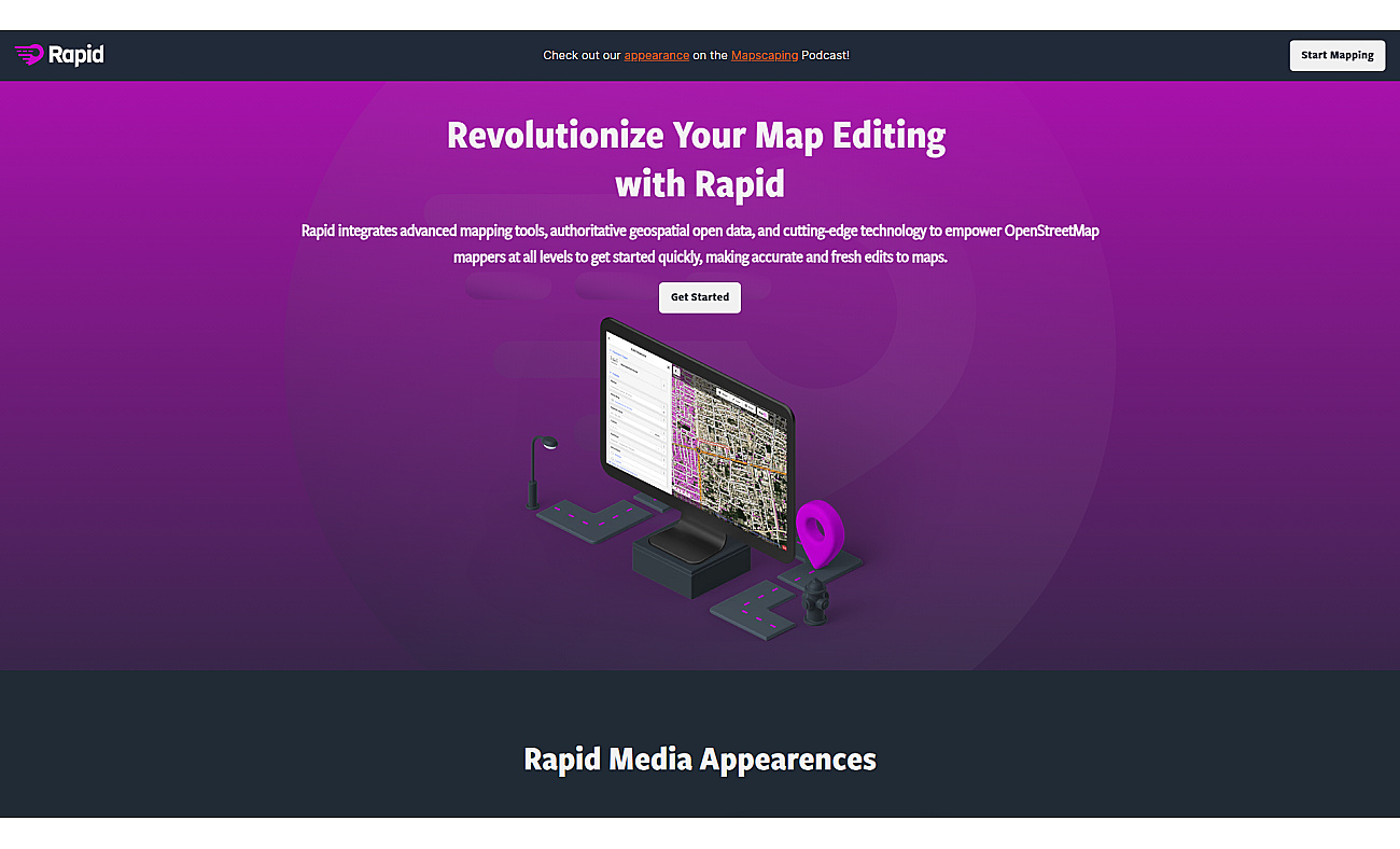
Mapwith.ai offers a straightforward way to edit maps. Users engage with AI-analyzed satellite images to find and correct missing geographic information.
The interface is designed for all skill levels, allowing beginners and experienced mappers alike to start editing right away.
With access to reliable open data, mapping becomes more accurate and timely.
Community-driven projects thrive as users collaborate and track changes in land use or support disaster response efforts. This platform enhances the overall mapping experience by making data visualization tasks more manageable and encouraging participation in mapping initiatives.
Based on overlapping tasks and related categories.
Advanced mapping editor with AI features for accurate updates.

Create stunning animations using satellite imagery.
Instant calculations and unit conversions in your browser.
AI-driven query generator for effortless SQL management.
Access over 250 AI models for creative and productive workflows.
Discover other similar tools and compare features