Google Earth Studio
Create stunning animations using satellite imagery.
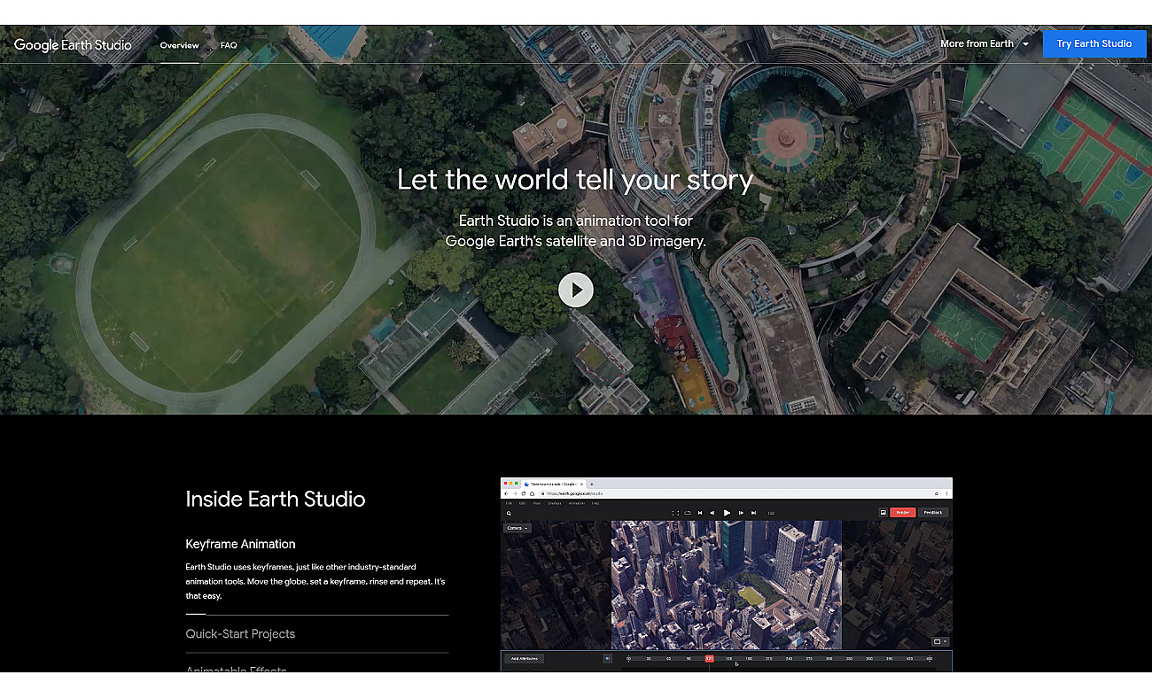
Google Earth Studio is a web-based animation software that utilizes satellite and 3D imagery from Google Earth to create visually captivating animations. It allows users to explore locations around the world, set keyframes for moving images, and apply various visual effects.
This program is suitable for anyone interested in making geographical stories come alive, regardless of their previous animation experience.
With its user-friendly design, individuals can produce professional-quality videos for presentations, educational purposes, or promotional content.
From illustrating climate change to showcasing real estate, Google Earth Studio serves diverse needs by enhancing visual storytelling through maps and landscapes.
What can I use Google Earth Studio for?
- Create engaging location-based presentations
- Visualize climate change effects
- Develop educational geography animations
- Produce promotional videos for tourism
- Illustrate historical events on maps
- Showcase real estate properties effectively
- Animate data for news stories
- Enhance social media content visually
- Support urban planning presentations
- Visualize travel itineraries for clients
What are the key benefits of using Google Earth Studio?
- Easy to use for beginners
- Access to high-quality imagery
- No animation experience needed
- Direct integration with Adobe After Effects
- Browser-based application is convenient
Similar tools
Based on overlapping tasks and related categories.
Emu Video
Create engaging videos from text prompts effortlessly.
Free
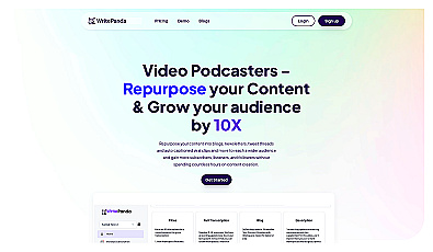
Write Panda
Transform long-form videos and podcasts into engaging content.
Free trial
from $19/m
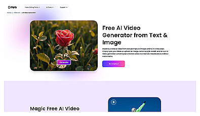
Clipfly
Create engaging videos from text and images effortlessly.
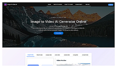
ImageToVideo AI
Transform static images into engaging videos effortlessly.
Free
from $9.90/one-time
Looking for more alternatives?
Discover other similar tools and compare features
Product info
-
About pricing:
Free
- Main task: Geography
- More Tasks
-
Target Audience
Marketers Educators Content Creators Non-profit Organizations News Media Professionals