
Picterra
Geospatial AI for analyzing satellite and drone imagery.
Subscription
Geospatial AI for analyzing satellite and drone imagery.
Advanced image segmentation solution built on TensorFlow.
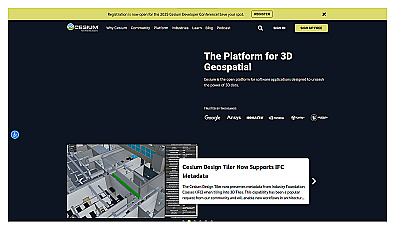
Visualize and manage 3D geospatial data effortlessly.