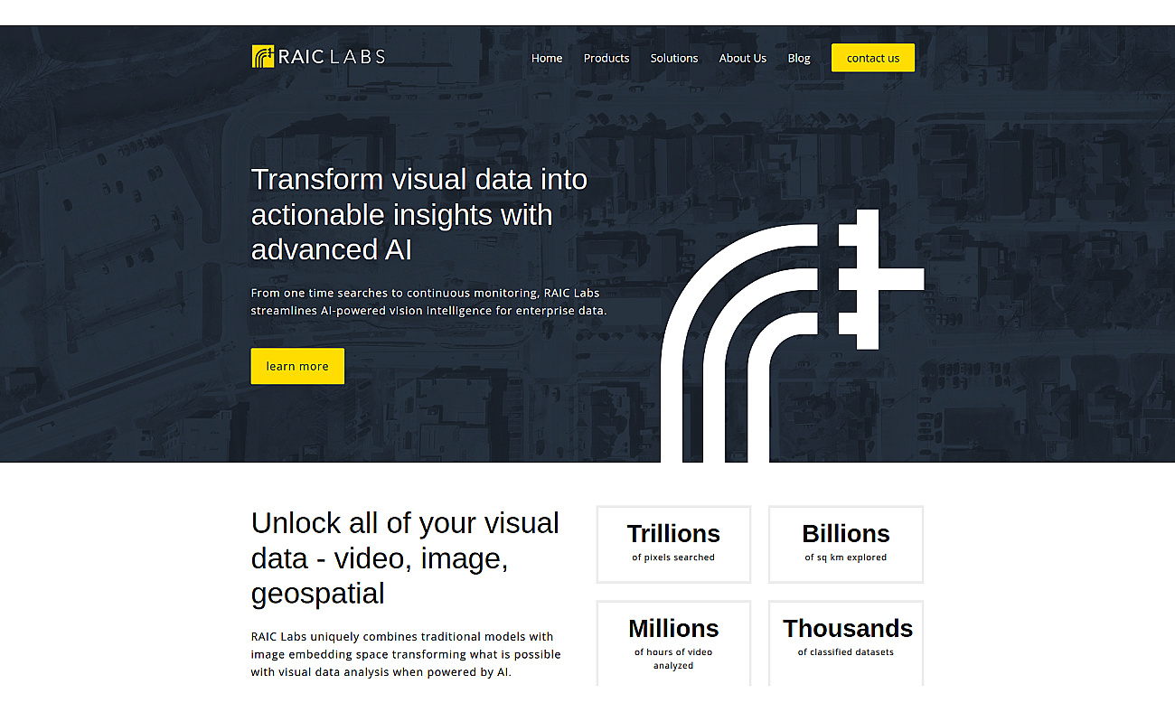
Synthetaic processes visual information through advanced AI technology. This system analyzes and monitors images and videos efficiently, allowing for quick searches of specific objects.
Users find what they need in minutes, making decision-making faster and more effective across various industries. Continuous monitoring provides real-time updates, keeping organizations informed.
Synthetaic suits many applications such as asset identification, crop monitoring, and security threat detection. It also aids in managing transportation assets, improving energy infrastructure, and analyzing environmental changes. Whether monitoring wildlife or supporting disaster response, Synthetaic makes visual data analysis accessible and efficient.