Location Analysis Tools
AI-driven insights for evaluating business location value.

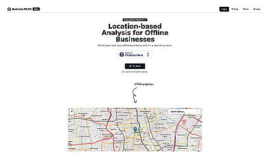
Unlock insights from geolocation data for smarter decisions.

Advanced AI for swift visual data analysis and monitoring.

Advanced AI for fast analysis of geospatial imagery.

Spatial data visualization and analysis for informed decision-making.

Geospatial AI for analyzing satellite and drone imagery.
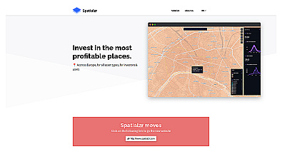
Real-time market insights for smarter real estate decisions.

Comprehensive location intelligence for businesses and applications.
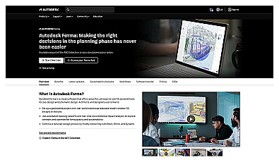
Efficient software for 3D architectural design and analysis.
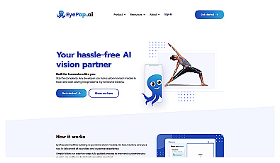
Advanced image recognition for identifying objects in photos.
Automated solution for precise object identification in images and videos.

Real-time image analysis for accurate object detection.

Efficiently manage and analyze large geospatial datasets.
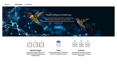
Create custom image recognition models with ease.
Streamlined AI model training for object detection and analysis.
Advanced image detection and segmentation technology for various industries.
Visual documentation solution for construction projects
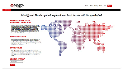
Advanced threat monitoring for global and local risks.
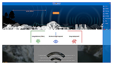
Affordable long-range internet connectivity for various applications.

AI-driven image analysis for precise location identification.
Streamlined workflow management for municipalities and organizations.
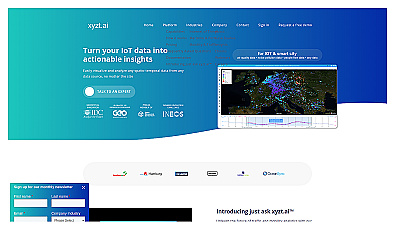
Insight platform for visualizing and analyzing IoT data.
Automated imaging for actionable insights across industries.

Advanced mapping editor with AI features for accurate updates.
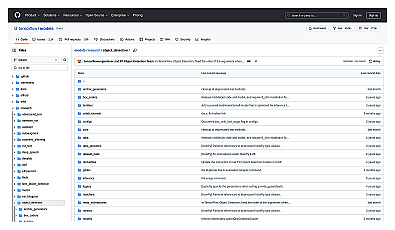
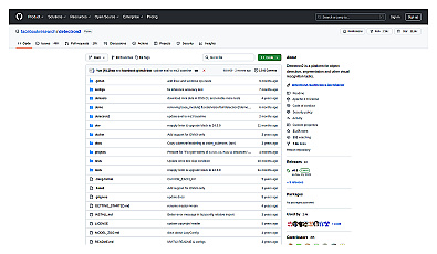
Advanced image segmentation solution built on TensorFlow.