City Modeling Tools

Geospatial AI for analyzing satellite and drone imagery.
Smart itinerary planner for personalized travel experiences.
Advanced analytics for smarter public finance decision-making.
Discover local amenities and safety information for real estate decisions.

Advanced AI for fast analysis of geospatial imagery.
Transform ideas into stunning 3D architectural visuals instantly.
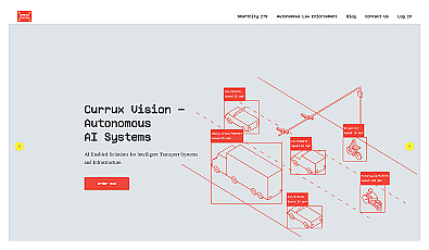
Local device for real-time visual data analysis.
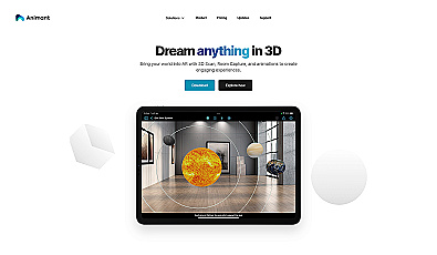
Transform your space with interactive augmented reality.
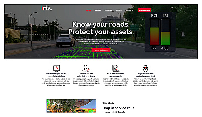
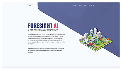
Automated road monitoring and asset management for cities.
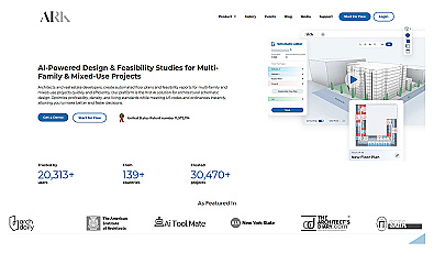
Automated design generation for architectural projects.
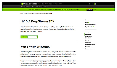
Real-time video analytics for various industry applications.
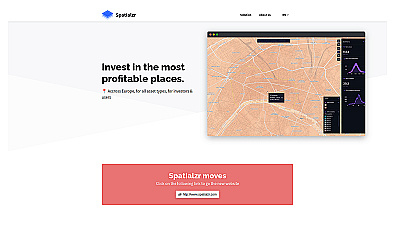
Real-time market insights for smarter real estate decisions.
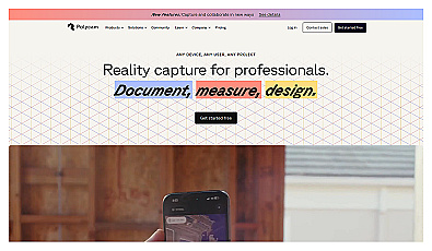
Create detailed 3D models of real-world spaces effortlessly.
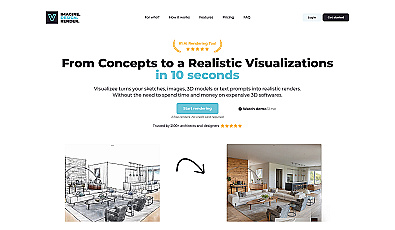
Instantly transform sketches and images into stunning visuals.
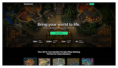
Create beautiful fantasy maps with ease and creativity.
AI-powered traffic monitoring and enforcement system for cities.

Intuitive map editing with AI-driven insights for all users.
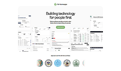
Streamlined workflow management for municipalities and organizations.
Training platform for enhancing robot navigation skills in realistic settings.
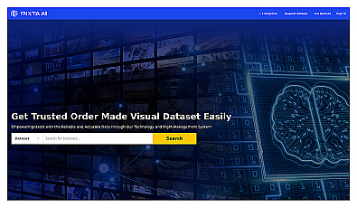
A platform for licensing diverse datasets for AI projects.
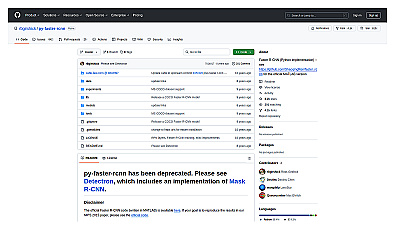
Fast and accurate object detection for computer vision tasks.
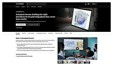
Efficient software for 3D architectural design and analysis.
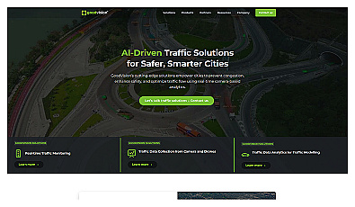
AI-powered traffic management for safer urban mobility.
Create limitless virtual environments with advanced generation techniques.

Advanced mapping editor with AI features for accurate updates.