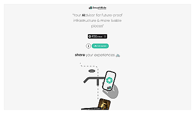
SmoothRide
Urban planning tool promoting cyclist-friendly infrastructure improvements.
Free
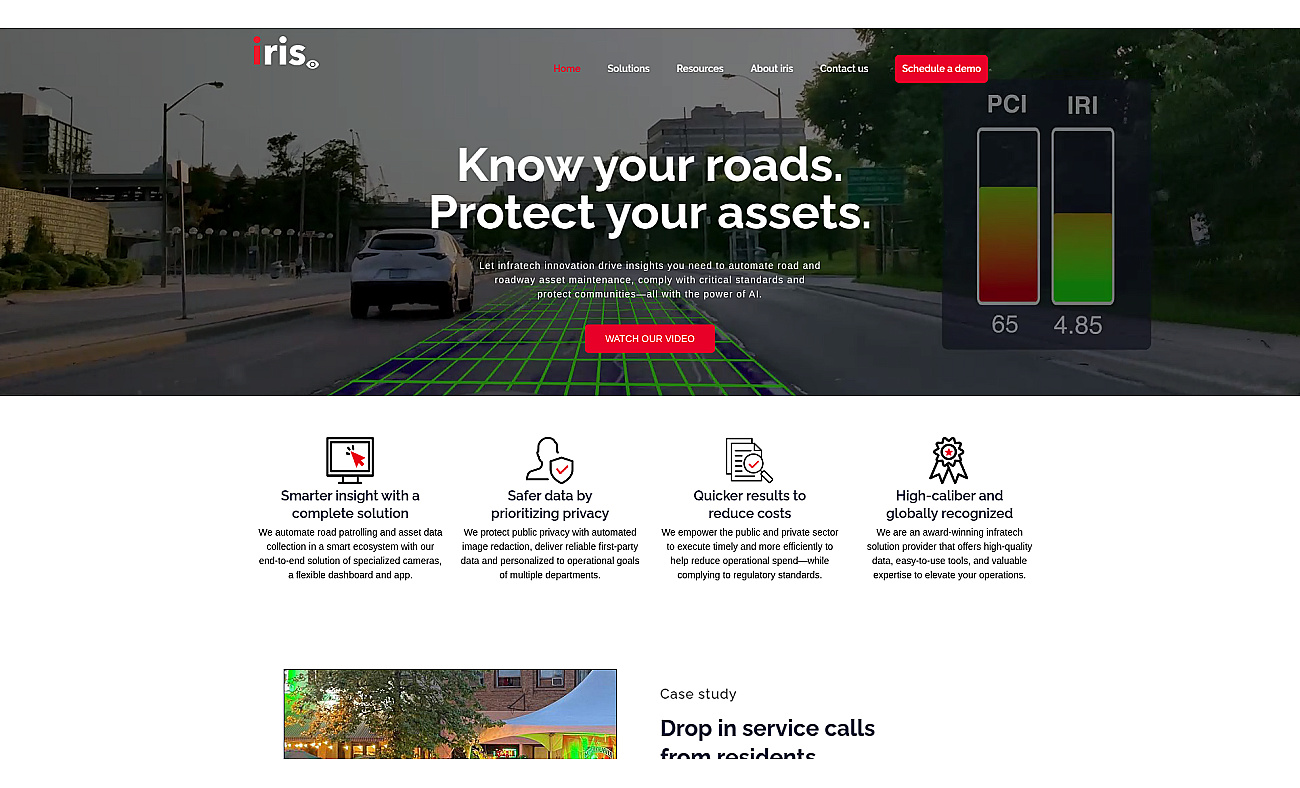
Automated road monitoring and asset management for cities.
Iris roads is a system designed for monitoring road conditions and managing infrastructure efficiently. It uses advanced technology, including specialized cameras, to gather data on issues like potholes and cracks.
This allows local governments to quickly identify and address road problems, ensuring safety and compliance with regulations. The user-friendly dashboard makes it accessible for various departments, helping streamline processes and reduce operational costs. By improving response times for repairs and facilitating data-driven decision-making, iris roads enhances public safety and supports collaboration across departments to maintain road quality and infrastructure longevity.
Based on overlapping tasks and related categories.
Urban planning tool promoting cyclist-friendly infrastructure improvements.
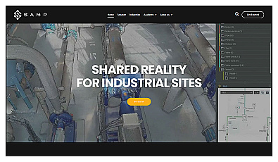
Accurate digital representations for industrial facilities.

Advanced AI for fast analysis of geospatial imagery.
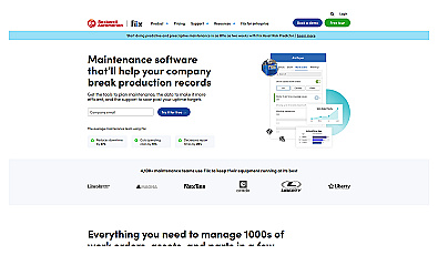
Streamline maintenance operations with efficient work order management.

Custom panels and controls for industrial automation and safety.

Custom AI applications for streamlined business automation.
Discover other similar tools and compare features