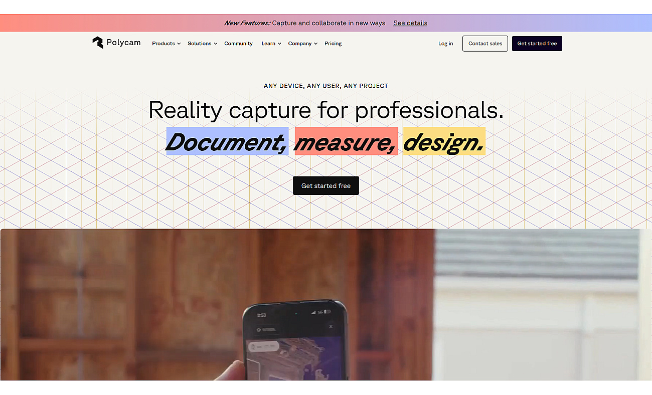
Polycam allows for the creation of 3D models from real-world environments, making it useful for various fields like architecture and engineering. Users can easily capture floor plans, drone mappings, and object scans using their devices.
The process is quick, enabling seamless sharing and collaboration among teams.
This technology is especially advantageous for documenting construction progress, mapping outdoor areas, and generating visualizations for marketing. With its user-friendly interface and compatibility across multiple devices, Polycam enhances design and planning workflows, providing high-quality 3D models suitable for diverse professional applications.