Urban Development Analysis Tools

Unlock insights from geolocation data for smarter decisions.

Advanced AI for swift visual data analysis and monitoring.

Advanced AI for fast analysis of geospatial imagery.
Advanced image detection and segmentation technology for various industries.
AI-driven procurement management for smarter spending decisions.
Ensures safe and suitable ad placements for brands.
Quickly generates detailed project estimates for developers.
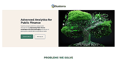
Advanced analytics for smarter public finance decision-making.
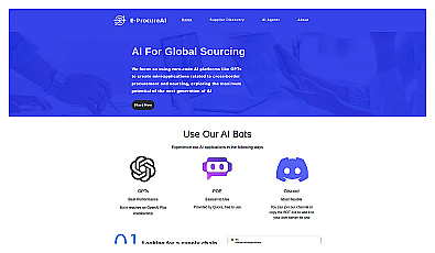
AI-driven sourcing platform for global supplier discovery.
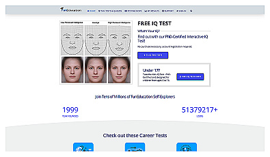
Engaging assessments for IQ, personality, and career exploration.

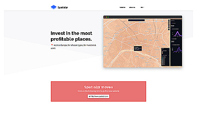
Spatial data visualization and analysis for informed decision-making.
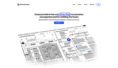
A collaborative management solution for construction teams.
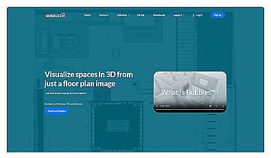
Visualize floor plans with interactive 3D modeling and collaboration.

Geospatial AI for analyzing satellite and drone imagery.
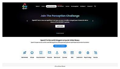
Powerful library for computer vision tasks and image processing.
Real-time market insights for smarter real estate decisions.

Comprehensive location intelligence for businesses and applications.
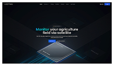
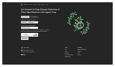
Advanced satellite imaging for agricultural field analysis.
AI-driven innovation for unique protest strategies and campaigns.
Image segmentation using text or image prompts with minimal setup.
Your source for concise climate news updates.

Custom image classification for tailored visual recognition.
Advanced image recognition for identifying objects in photos.