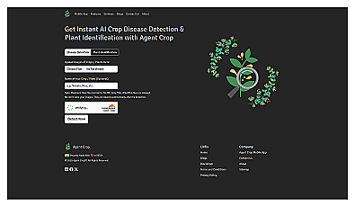
Agent Crop
Instantly identify crop diseases and improve yields.
Free
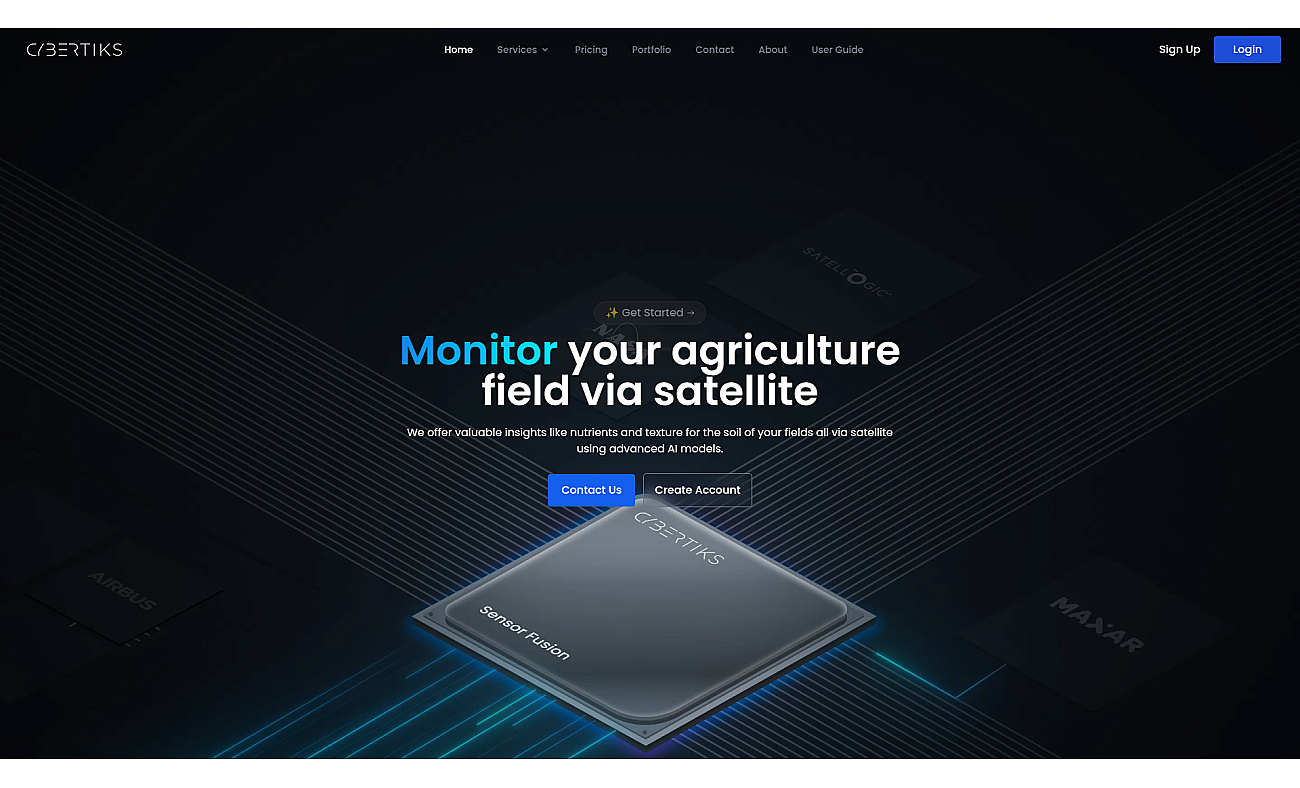
Advanced satellite imaging for agricultural field analysis.
Cybertiks offers a system that analyzes agricultural fields using satellite imagery and artificial intelligence. It provides farmers with insights about soil health, nutrients, and texture.
This technology allows for remote monitoring of crops, with weekly updates to keep farmers informed. Users can visualize key data on maps, making it easier to track conditions and identify issues like nutrient deficiencies. Cybertiks supports precision farming initiatives, enhancing irrigation planning and overall crop management.
By providing tailored insights, it enables farmers to make informed decisions that lead to improved yields and sustainable land practices.
Based on overlapping tasks and related categories.
Instantly identify crop diseases and improve yields.
Automated agents streamline workflows and enhance productivity.
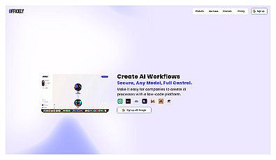
Create AI workflows easily and securely without coding skills.

Create advanced AI bots for various messaging platforms.
Discover other similar tools and compare features