
GeoMesa
Efficiently manage and analyze large geospatial datasets.
Efficiently manage and analyze large geospatial datasets.
Advanced image segmentation solution built on TensorFlow.
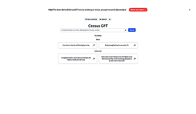
Access city and neighborhood data with ease.

Spatial data visualization and analysis for informed decision-making.

Geospatial AI for analyzing satellite and drone imagery.

Advanced AI for fast analysis of geospatial imagery.