Land Use Planning Tools
Advanced image segmentation solution built on TensorFlow.

AI-driven image analysis for precise location identification.

Create stunning animations using satellite imagery.

Geospatial AI for analyzing satellite and drone imagery.

Advanced mapping editor with AI features for accurate updates.
Visualize and manage 3D geospatial data effortlessly.

Certification for educational technology ensuring data privacy compliance.
Enhance vector search with intuitive editing for embeddings.

Advanced AI for analyzing investment data effectively.
Intuitive data analysis for informed business decisions.
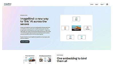
Multimodal AI for linking images, audio, and text data.
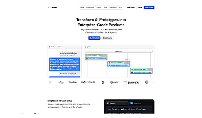
Open-source observability for AI agents' performance and security.
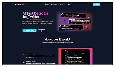
Quickly identify AI-generated tweets for better online trust.
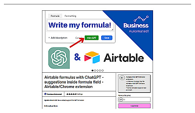
Generate Airtable formulas quickly with intelligent assistance.
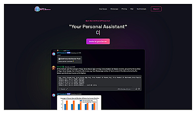
AI-powered assistant for quick answers and collaboration in Discord.
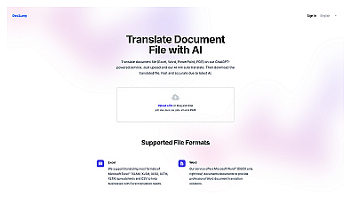
Quickly translate various document types while keeping the formatting.
Analyze user interactions with AI chatbots for improved performance.
Automated research and analysis for quick, reliable insights.

Turn raw data into clear, actionable insights for better decisions.
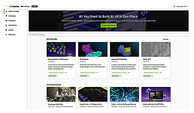
GPU-optimized software for AI and machine learning development.
Advanced framework for creating customized speech recognition models.
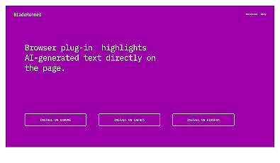
Identify AI-generated text in browser content easily.
Engage with documents through summaries and mind maps.
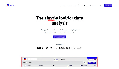
Simplifies data analysis with visual insights and text interpretation.
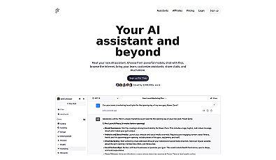
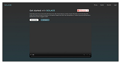
Versatile AI assistant for data interaction and insights.