Geolocation Tools

Efficient software for 3D architectural design and analysis.

Unlock insights from geolocation data for smarter decisions.

Advanced AI for swift visual data analysis and monitoring.

Advanced AI for fast analysis of geospatial imagery.
Advanced image detection and segmentation technology for various industries.

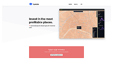
Comprehensive location intelligence for businesses and applications.

Spatial data visualization and analysis for informed decision-making.

Create stunning animations using satellite imagery.
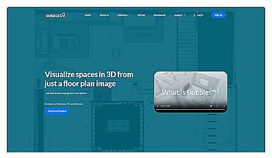
Visualize floor plans with interactive 3D modeling and collaboration.

Transform scans into detailed 3D building models instantly.
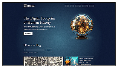
Explore history through detailed, interactive maps.

Geospatial AI for analyzing satellite and drone imagery.
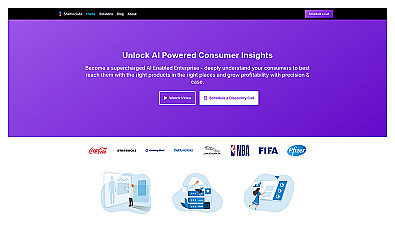
Advanced consumer data analysis for smarter marketing decisions.
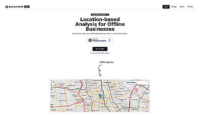
AI-driven insights for evaluating business location value.
Real-time market insights for smarter real estate decisions.
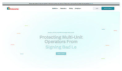
Manage lease agreements and tenant obligations seamlessly.
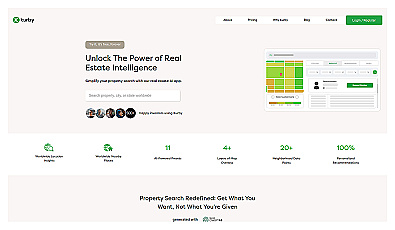
AI-driven real estate insights for personalized property searches.
Advanced AI for pinpointing ideal market areas quickly.
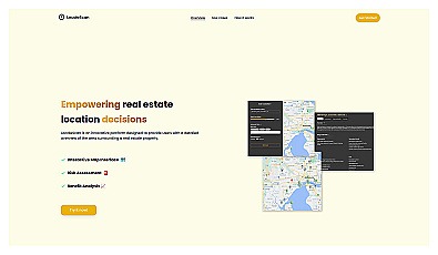
Discover local amenities and safety information for real estate decisions.
AI-driven innovation for unique protest strategies and campaigns.
Image segmentation using text or image prompts with minimal setup.
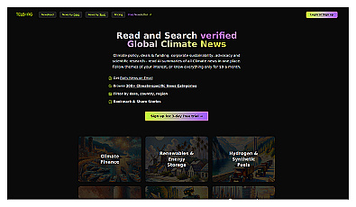
Your source for concise climate news updates.

Visual documentation solution for construction projects
Custom image classification for tailored visual recognition.