Spatial Visualization Tools
Digital solution enhancing construction project efficiency and collaboration.
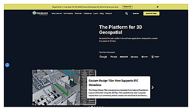
Visualize and manage 3D geospatial data effortlessly.
Local device for real-time visual data analysis.
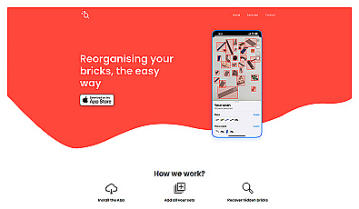
Manage Lego collections and track rebuilding progress seamlessly.
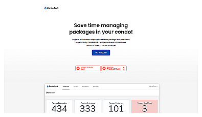
Streamlined package management for residential buildings.
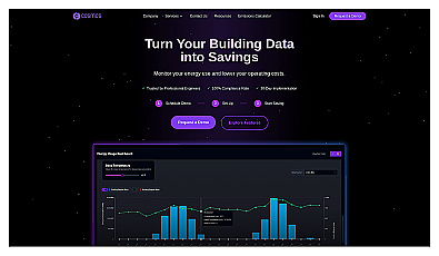
Efficient energy management for buildings through actionable insights.

Create stunning animations using satellite imagery.

Advanced mapping editor with AI features for accurate updates.

Explore and create unique architectural designs with ease.

Create detailed 3D models of real-world spaces effortlessly.
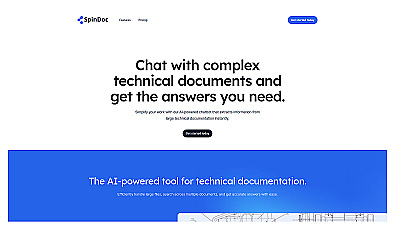
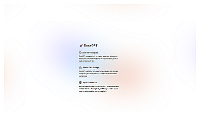
AI-driven assistant for quick access to technical documents.
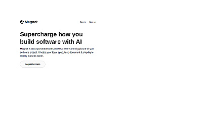
Streamlined workspace for efficient software project management.
Quickly create modern web applications with minimal setup.

Engage with documents through summaries and mind maps.
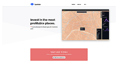
Real-time market insights for smarter real estate decisions.
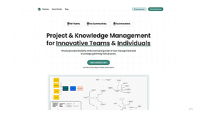
Streamlined project and knowledge management system for teams.

Advanced data analysis and automation for informed decision-making.
AI-driven assistant for smarter work management and decision-making.

Spatial data visualization and analysis for informed decision-making.
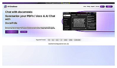
Interact with documents by chatting to extract and summarize information.
Engaging conversations with documentation for quick answers.
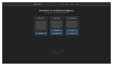
Create and analyze polls for quick feedback and insights.

Collaborative decision-making and project management tool for teams.
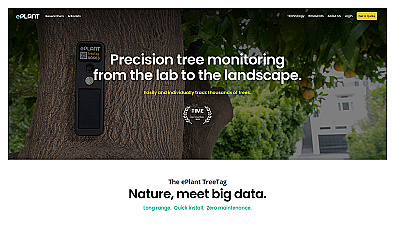
Monitor tree health and environmental conditions with advanced sensors.
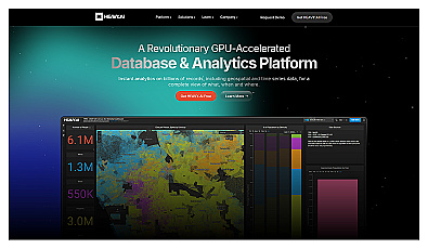
Analyze massive datasets for immediate insights and patterns.