Best geospatial analysis tools in 2025
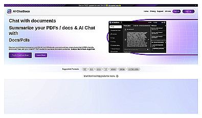
Interact with documents by chatting to extract and summarize information.
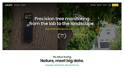
Monitor tree health and environmental conditions with advanced sensors.
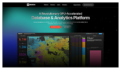
Analyze massive datasets for immediate insights and patterns.

Advanced AI for fast analysis of geospatial imagery.
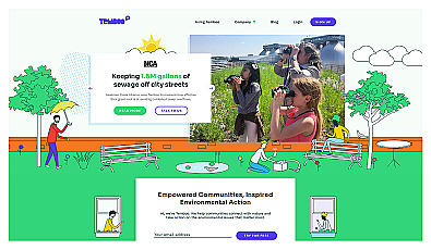
Connects communities to environmental data for informed action.
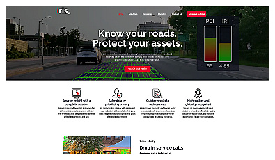
Automated road monitoring and asset management for cities.
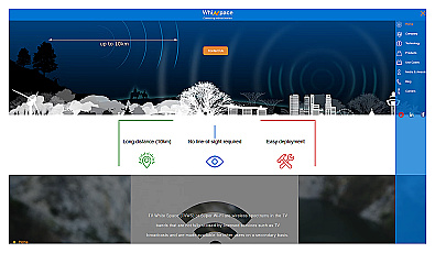
Affordable long-range internet connectivity for various applications.

Efficiently manage and analyze large geospatial datasets.
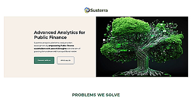
Advanced analytics for smarter public finance decision-making.

Unlock insights from geolocation data for smarter decisions.
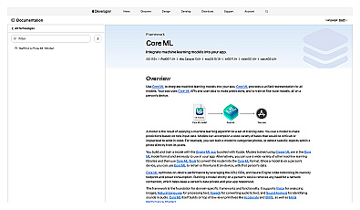
Machine learning framework that enhances app capabilities.
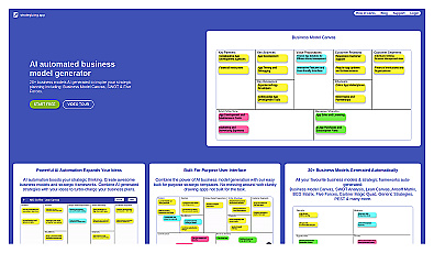
Create and visualize business models with drag-and-drop ease.
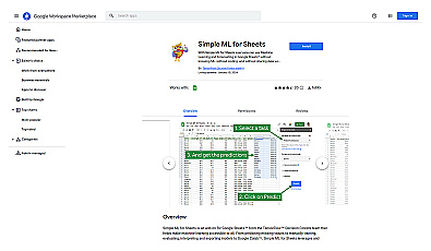
User-friendly machine learning integration for Google Sheets.
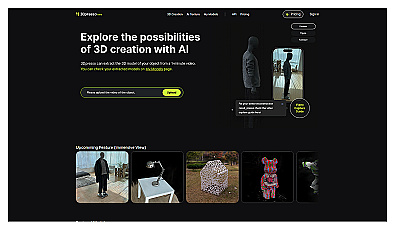
Transform videos into customizable 3D models effortlessly.

Comprehensive location intelligence for businesses and applications.

Create stunning animations using satellite imagery.
User-friendly machine learning model creator for data analysis.

Intuitive map editing with AI-driven insights for all users.
Automated machine learning for smarter business decisions.

Advanced AI for swift visual data analysis and monitoring.
Transform text into unique 3D models for creative projects.
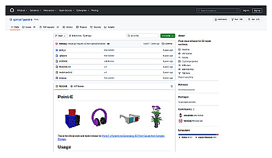
Generates 3D point clouds from text and images for creative projects.

Advanced mapping editor with AI features for accurate updates.
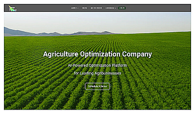
Transform tree management with AI-driven insights and analytics.
Create accurate text classification models with minimal expertise.