Geographic Information Tools

Transform scans into detailed 3D building models instantly.
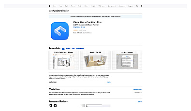
Visualize and design interiors with intuitive 2D and 3D options.

Geospatial AI for analyzing satellite and drone imagery.
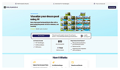
Visualize your dream pool in your backyard instantly.
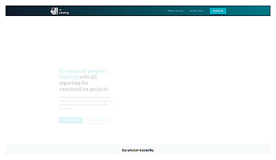
Real-time construction project monitoring for effective management.
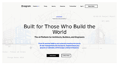
AI-driven project management for construction professionals.
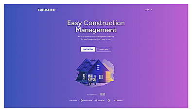
Construction project management with budgeting and tracking features.

Efficiently manage and analyze large geospatial datasets.

Advanced AI for fast analysis of geospatial imagery.

Spatial data visualization and analysis for informed decision-making.
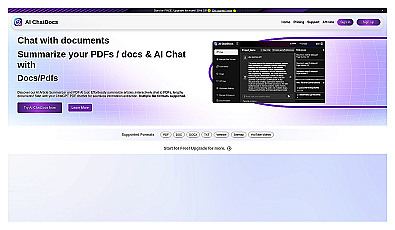
Interact with documents by chatting to extract and summarize information.
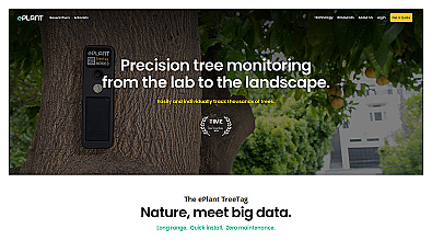
Monitor tree health and environmental conditions with advanced sensors.
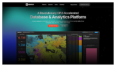
Analyze massive datasets for immediate insights and patterns.
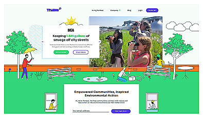
Connects communities to environmental data for informed action.
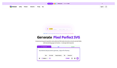
Transform ideas into high-quality vector graphics effortlessly.
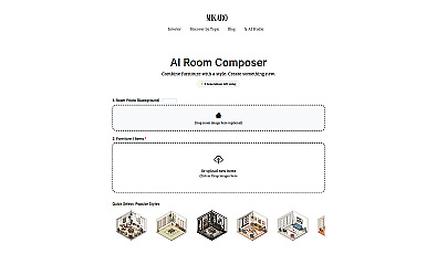
Instantly transform room styles with curated design elements.
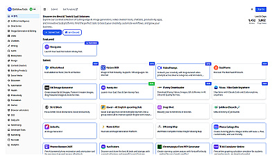
Curated directory for discovering AI and SaaS solutions.
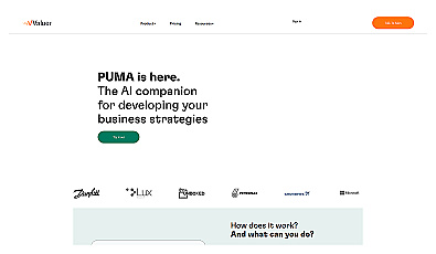
AI-driven insights for informed business decision-making.

Instantly generate diverse logo designs with unique styles.
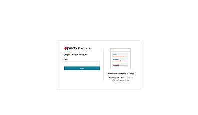
Collect and prioritize user feedback for informed product decisions.
Create immersive 2D and 3D generative environments effortlessly.
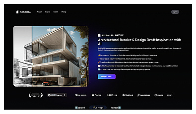
Generate stunning architectural visuals from sketches or photos in seconds.
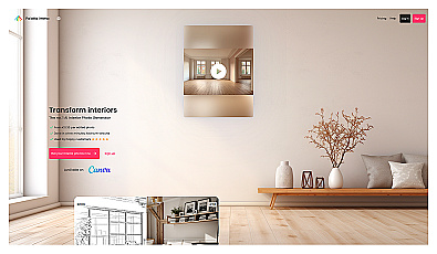
Visualize stunning interior designs with realistic virtual staging.

Create unique clothing designs with simple prompts and images.
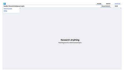
An intelligent research assistant for informed decision-making.