Geographic Analysis Tools
Create detailed 3D models of real-world spaces effortlessly.
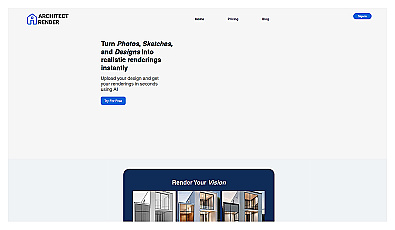
Transform sketches into realistic 3D visuals effortlessly.
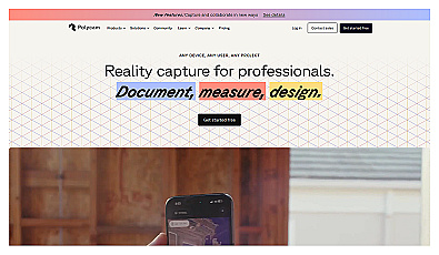
Capture detailed 3D models using your smartphone effortlessly.
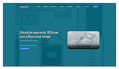
Visualize floor plans with interactive 3D modeling and collaboration.
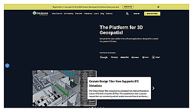
Visualize and manage 3D geospatial data effortlessly.
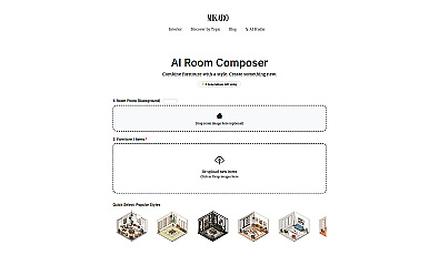
Instantly transform room styles with curated design elements.
Create immersive 2D and 3D generative environments effortlessly.
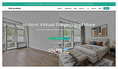
Instantly stage any room with realistic virtual furniture.
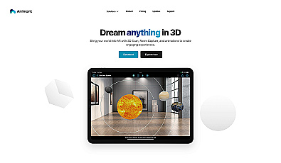
Transform your space with interactive augmented reality.
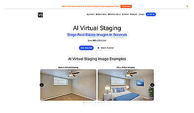
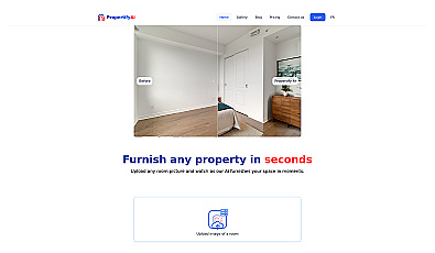
Instantly furnish property images with realistic virtual designs.

Interactive 3D marketing for real estate visualization.
Visualize interior designs with realistic AI-generated images.
IoT platform for smart data processing and edge computing.

AI-driven image analysis for precise location identification.

Spatial data visualization and analysis for informed decision-making.

Advanced AI for swift visual data analysis and monitoring.
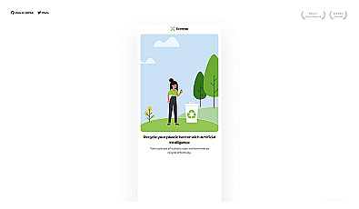
AI-powered recycling guidance for plastics made simple.

Geospatial AI for analyzing satellite and drone imagery.
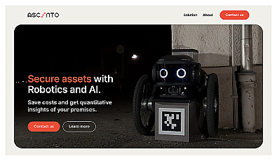
Advanced robotic security monitoring for homes and businesses.
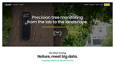
Monitor tree health and environmental conditions with advanced sensors.

Advanced AI for fast analysis of geospatial imagery.
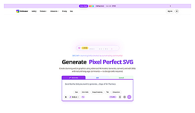
Transform ideas into high-quality vector graphics effortlessly.

A collaborative workspace for managing tasks and projects.

Instantly generate diverse logo designs with unique styles.