Tools To Coordinate Mapping
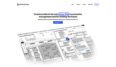
A collaborative management solution for construction teams.
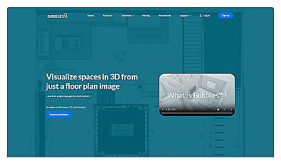
Visualize floor plans with interactive 3D modeling and collaboration.
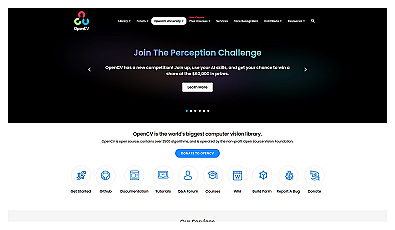
Powerful library for computer vision tasks and image processing.

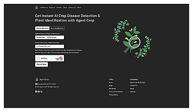
Advanced AI for swift visual data analysis and monitoring.
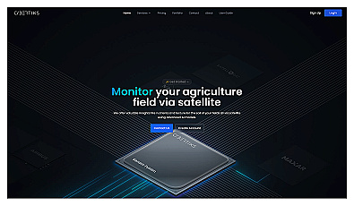
Advanced satellite imaging for agricultural field analysis.

Unlock insights from geolocation data for smarter decisions.

Create detailed 3D models of real-world spaces effortlessly.

Advanced consumer data analysis for smarter marketing decisions.
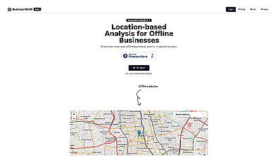
AI-driven insights for evaluating business location value.
Manage lease agreements and tenant obligations seamlessly.

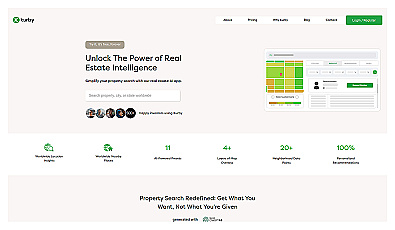
AI-driven real estate insights for personalized property searches.
Advanced AI for pinpointing ideal market areas quickly.
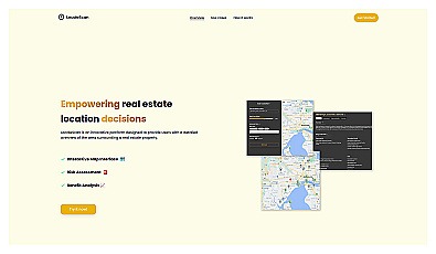
Discover local amenities and safety information for real estate decisions.