Spatial Intelligence Tools
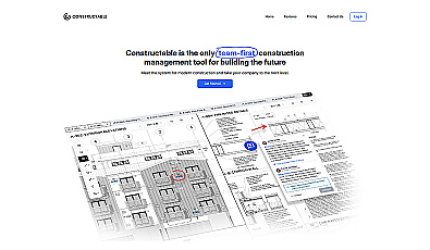
A collaborative management solution for construction teams.
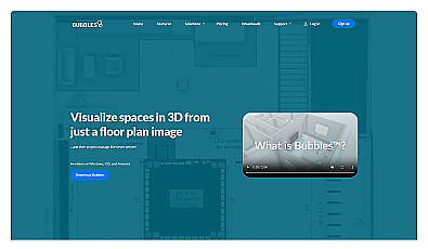
Visualize floor plans with interactive 3D modeling and collaboration.
Powerful library for computer vision tasks and image processing.

Advanced AI for fast analysis of geospatial imagery.

Spatial data visualization and analysis for informed decision-making.

Advanced AI for swift visual data analysis and monitoring.

Geospatial AI for analyzing satellite and drone imagery.
AI-driven communication for logistics and supply chain operations.
Advanced AI for intelligent reasoning and decision-making.
Intelligent visual recognition for diverse business needs.
Accessible library for predictive data analysis and machine learning.

Automates manual tasks for supply chain efficiency.
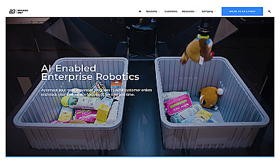
Intelligent robotics for flexible automation in various industries.
AI-driven insights for personalized customer experiences and workflow efficiency.
Real-time image and video analysis for smarter decision-making.
Voice AI technology for efficient offline workflows.
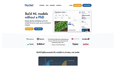
Create and deploy custom machine learning models with ease.

Access global trade insights and data for informed business decisions.
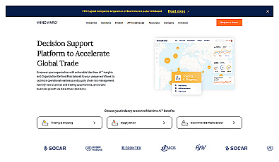
AI-driven insights for enhanced maritime operations and logistics.
Advanced artificial intelligence for diverse research applications.
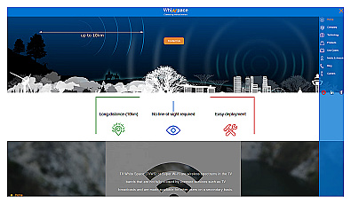
Affordable long-range internet connectivity for various applications.
Automated data extraction for streamlined document workflows.
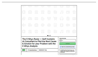
Structured method for identifying root causes of problems.