Satellite Imagery Analysis Tools
Visualize environmental changes with AI-driven geospatial data analysis.

Create stunning animations using satellite imagery.
Free

Intuitive map editing with AI-driven insights for all users.
Free

AI-driven solutions for enhancing customer interactions.
Explore history through detailed, interactive maps.
Create stunning interactive maps without coding skills.
Free
+ from $29/m
Transform sketches into polished digital diagrams effortlessly.
Paid
+ from $3.99/m

Advanced mapping editor with AI features for accurate updates.
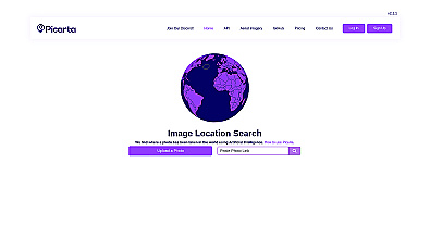
Discover where your photos were taken with intelligent geolocation.
Free
+ from $59.99/m

Efficiently manage and analyze large geospatial datasets.
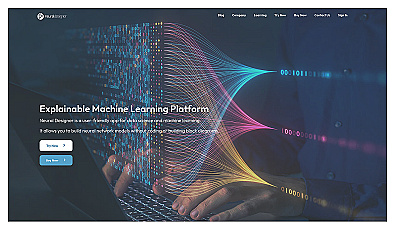
User-friendly neural network creation for data analysis.
Free
+ from $2,495.00/y
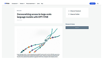
A powerful language model for research and innovation in AI.
Related Categories
🌾 Agriculture impact assessment
🌍 Climate change awareness
🌊 Coastal ecosystem monitoring
📊 Data-driven environmental studies
🏭 Defect detection
🌍 Environmental change tracking
🌳 Environmental data analysis
📈 Factory insights
🌳 Forest management insights
🌍 Geographic visualization
🌳 Land use analysis
🌊 Marine ecosystem evaluation
🌱 Renewable resource mapping
📈 Urban growth assessment
🖼️ Visual data processing