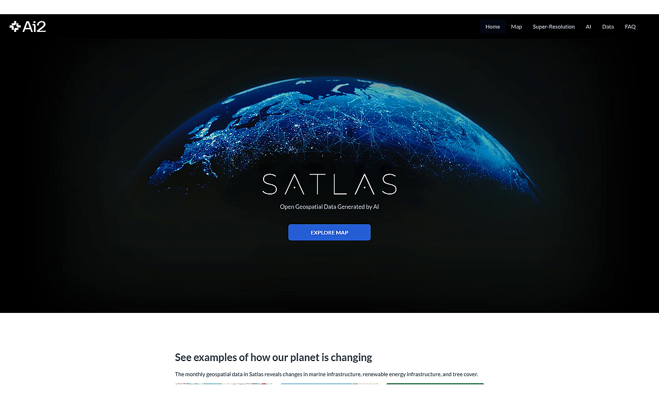
Satlas is a resource for understanding environmental impact through geospatial data analysis. It provides access to information about land use, renewable energy projects, and changes in forestry.
Users can view significant developments in marine and terrestrial infrastructures over time. This resource allows individuals and organizations to visualize environmental changes and trends, enhancing understanding of climate issues and infrastructure growth. With features like real-time monitoring and AI-generated insights, Satlas supports various applications.
Users can track deforestation, analyze renewable energy expansion, visualize urban development, and assess the impacts of agricultural practices on forests. It offers freely available data for public use, promoting awareness and research on environmental matters.