Mobile Geospatial Apps Tools

Efficiently manage and analyze large geospatial datasets.
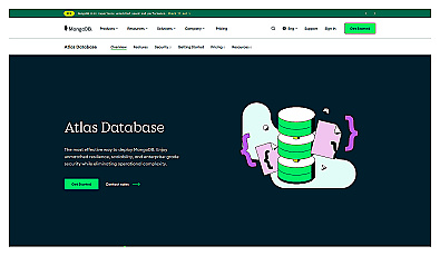
Cloud-based database designed for easy deployment and management.
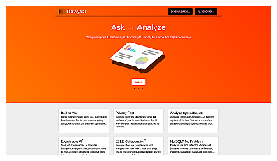
An AI-driven data analysis assistant for everyone.
Automated solution for precise object identification in images and videos.

AI-driven image analysis for precise location identification.

Spatial data visualization and analysis for informed decision-making.
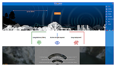
Affordable long-range internet connectivity for various applications.

Advanced AI for swift visual data analysis and monitoring.

Comprehensive location intelligence for businesses and applications.
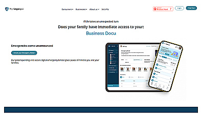
Securely manage and protect important personal information.
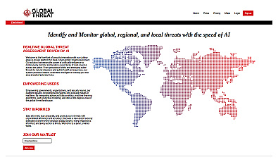
Advanced threat monitoring for global and local risks.
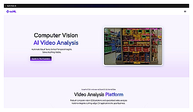
Automates video analysis for insights and decision-making.
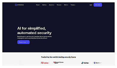
Advanced video analysis for proactive security management.
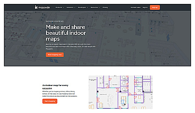
Indoor mapping tool for easy navigation in complex spaces.
Transforming CCTV footage into real-time actionable insights.
Local device for real-time visual data analysis.
Real-time license plate recognition for enhanced security and efficiency.
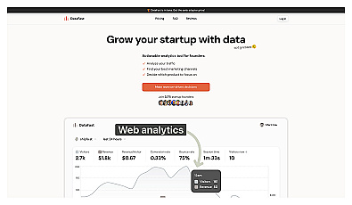
Website analytics for founders to drive revenue growth
AI-powered traffic monitoring and enforcement system for cities.