Environmental Trends Visualization Tools
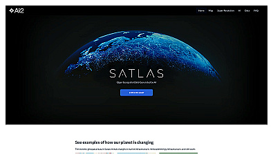
Visualize environmental changes with AI-driven geospatial data analysis.
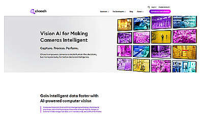
Real-time image and video analysis for smarter decision-making.
Free
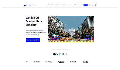
Expertly labeled datasets for efficient AI project development.
Paid

Intuitive map editing with AI-driven insights for all users.
Free
Automated imaging for actionable insights across industries.
Free
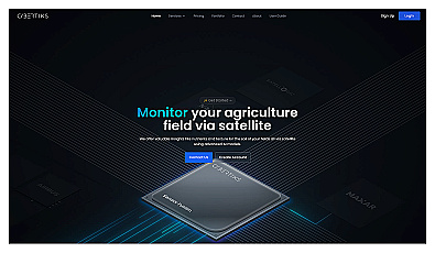
Advanced satellite imaging for agricultural field analysis.
Paid
+ from €20.00/m

Advanced mapping editor with AI features for accurate updates.

Efficiently manage and analyze large geospatial datasets.
Related Categories
🌍 Climate change adaptation
🌍 Climate change awareness
🌊 Coastal ecosystem services
🌱 Energy efficiency analysis
🌱 Energy efficiency programs
🌱 Energy transition planning
🌳 Forest ecosystem services
🌊 Marine habitat assessment
🌊 Marine resource assessment
🌱 Renewable energy advocacy
☀️ Renewable energy analysis
☀️ Renewable energy solutions
🌳 Urban forestry initiatives
🌳 Urban forestry management
🌳 Urban green space planning