Spatial Data Analysis Tools
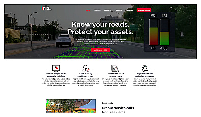
Automated road monitoring and asset management for cities.
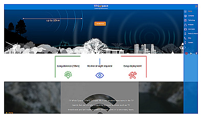
Affordable long-range internet connectivity for various applications.
AI-powered traffic monitoring and enforcement system for cities.
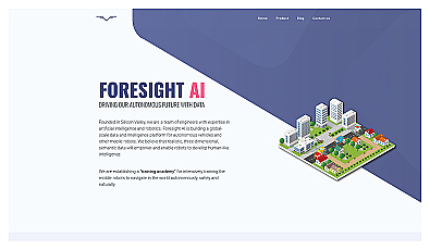
Training platform for enhancing robot navigation skills in realistic settings.

Transform scans into detailed 3D building models instantly.
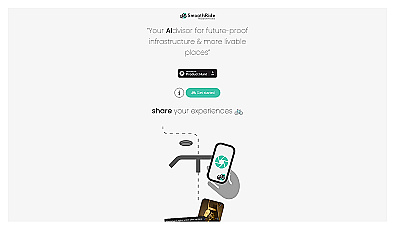
Urban planning tool promoting cyclist-friendly infrastructure improvements.

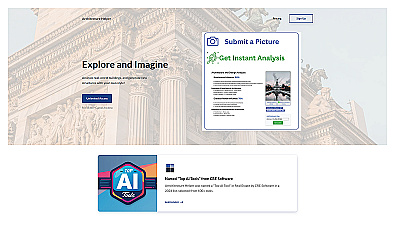
Advanced AI for fast analysis of geospatial imagery.
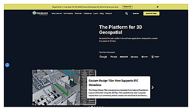
Visualize and manage 3D geospatial data effortlessly.
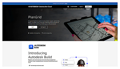
Access and share project information in real-time for construction teams.

AI-driven design for residential architecture in minutes.
Explore and create unique architectural designs with ease.
Streamlined project management for home construction.

Create detailed 3D models of real-world spaces effortlessly.
Visual documentation solution for construction projects

AI-driven tool for real-time asset tracking and management.
A collaborative management solution for construction teams.

Real-time construction project monitoring for effective management.
AI-driven technology for enhancing workplace safety and monitoring.
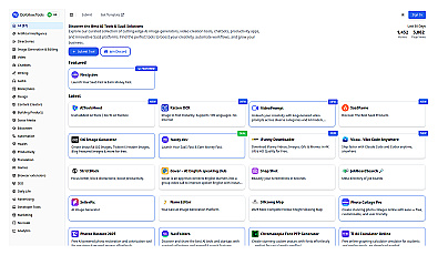
Curated directory for discovering AI and SaaS solutions.

AI-driven insights for informed business decision-making.

Collect and prioritize user feedback for informed product decisions.
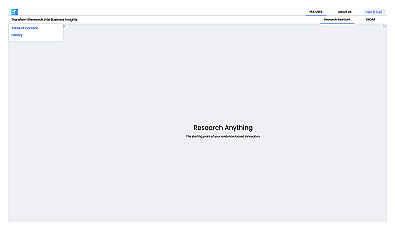
An intelligent research assistant for informed decision-making.
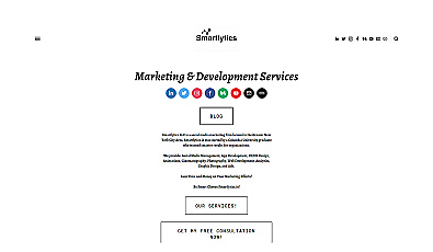
Marketing services that enhance online visibility and engagement.
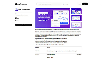
Automated pricing adjustments based on competitor insights.

Analyzes financial data to enhance investment decisions.