Remote Analysis Tools
Fast and accurate object detection for computer vision tasks.
Efficient software for 3D architectural design and analysis.

Efficiently manage and analyze large geospatial datasets.
Urban planning tool promoting cyclist-friendly infrastructure improvements.

Geospatial AI for analyzing satellite and drone imagery.
AI-powered traffic management for safer urban mobility.
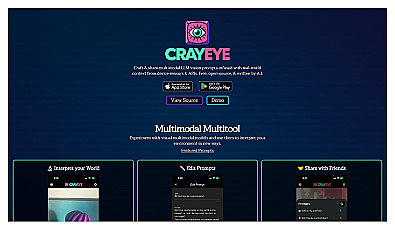
Create limitless virtual environments with advanced generation techniques.

Advanced mapping editor with AI features for accurate updates.
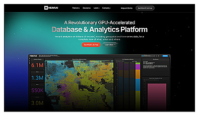
Analyze massive datasets for immediate insights and patterns.
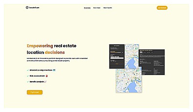
Discover local amenities and safety information for real estate decisions.
AI-driven assistant for connecting with local professionals.

Advanced AI for fast analysis of geospatial imagery.
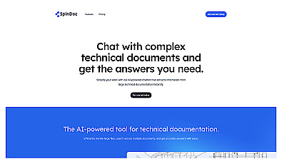
AI-driven assistant for quick access to technical documents.
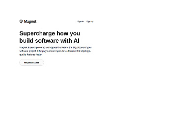
Streamlined workspace for efficient software project management.
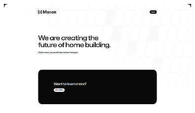
Streamlined project management for home construction.
Quickly create modern web applications with minimal setup.
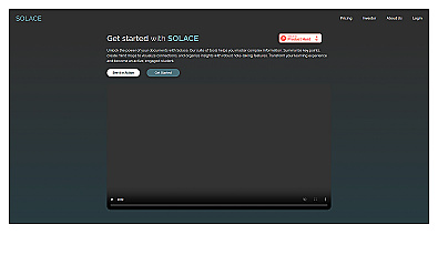
Engage with documents through summaries and mind maps.
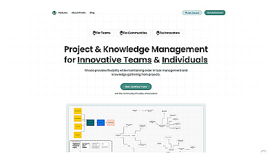
Streamlined project and knowledge management system for teams.
Advanced data analysis and automation for informed decision-making.
Automates data management for construction projects efficiently.
AI-driven assistant for smarter work management and decision-making.
Engaging conversations with documentation for quick answers.
Create and analyze polls for quick feedback and insights.
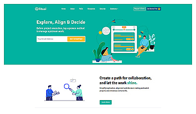
Collaborative decision-making and project management tool for teams.