Project Assessment Tools

Create personalized travel plans effortlessly with smart itineraries.
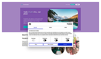
Personalized travel itineraries for stress-free planning.
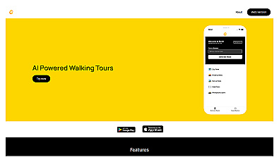
Discover personalized walking tours around the world.
Personalized travel recommendations based on user preferences.

Real-time image analysis for accurate object detection.
Plan your personalized travel adventures effortlessly.
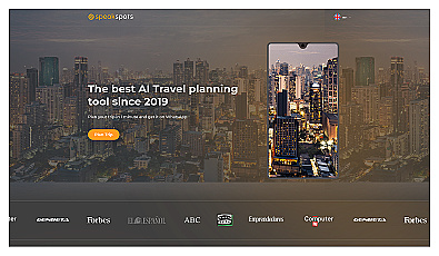
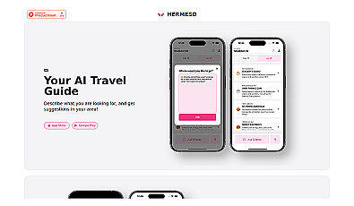
AI-powered travel planning through chat for personalized trip ideas.

Efficiently manage and analyze large geospatial datasets.
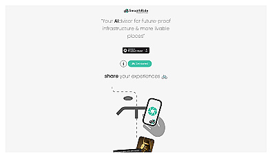
Urban planning tool promoting cyclist-friendly infrastructure improvements.
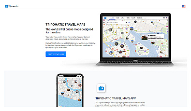
Plan your perfect trip with detailed itineraries and maps.

Geospatial AI for analyzing satellite and drone imagery.
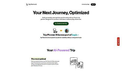
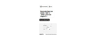
Smart itinerary planner for personalized travel experiences.

Advanced AI for fast analysis of geospatial imagery.

Advanced mapping editor with AI features for accurate updates.