Map Accessibility Tools

Customizable mapping and geolocation solutions for various applications.

Unlock insights from geolocation data for smarter decisions.

Comprehensive location intelligence for businesses and applications.

AI-driven image analysis for precise location identification.
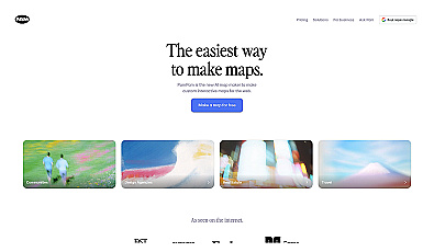
Create stunning interactive maps without coding skills.

AI-driven scheduling and dispatch system for non-emergency medical transport.

Smart navigation using artificial intelligence for better exploration.

Securely store and manage your location data privately.
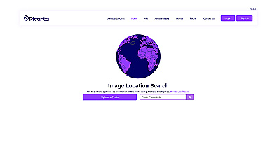
Discover where your photos were taken with intelligent geolocation.
Voice-activated assistant for managing tasks and accessing information.

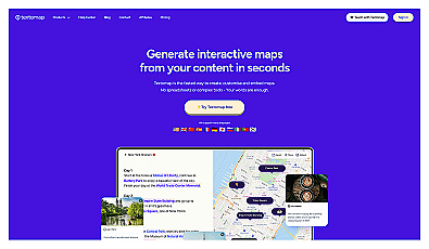
Create interactive maps from text sources quickly and easily.

Efficiently manage and analyze large geospatial datasets.
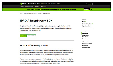
Real-time video analytics for various industry applications.

Innovative self-driving vehicle technology for safer travel.
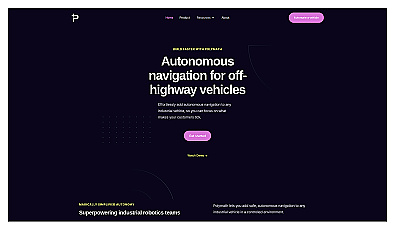
Autonomous navigation system for industrial vehicles.
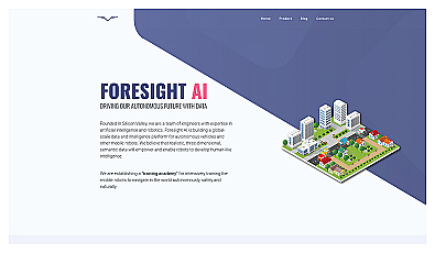
Training platform for enhancing robot navigation skills in realistic settings.
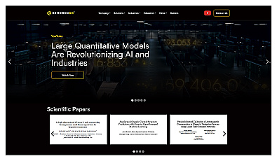
Advanced data analysis for healthcare, material science, and investments.
Build and scale realistic voice agents for various applications.

Create stunning animations using satellite imagery.
Personalized travel recommendations for seamless itinerary planning.

Advanced mapping editor with AI features for accurate updates.