Geospatial Visualization Tools
Pre-made components and templates for quick app development.
Effortlessly create stunning websites without coding.
Centralized workspace for organized software development and team collaboration.
A smart assistant for organizing daily tasks and managing projects.
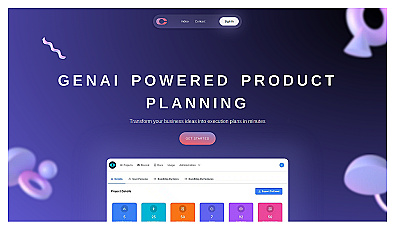
Efficiently generate structured business plans and user insights.
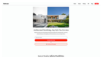
Transform ideas into stunning 3D architectural visuals instantly.
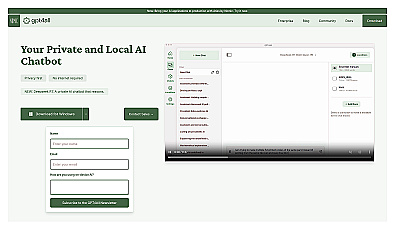
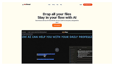
Local AI chatbot for secure, private conversations.
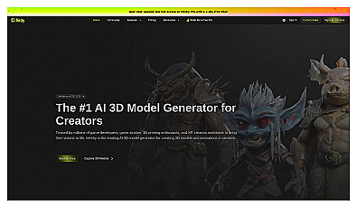
Generate 3D models from text or images in moments.
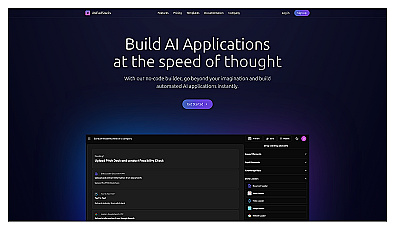
Build automated applications without coding skills.
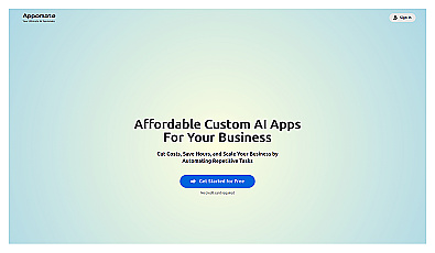
Custom AI applications for streamlined business automation.
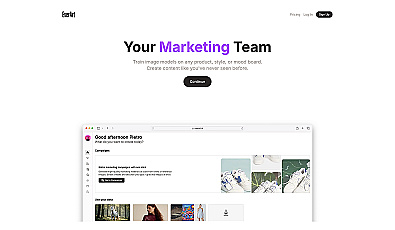
Generate stunning visuals and media effortlessly for any brand.
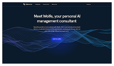
Personal AI assistant for managing workflows and decision-making.
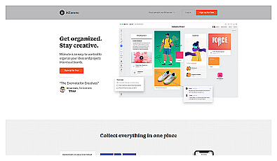
Streamlined workspace for organizing and collaborating on files.

Custom software designed for unique business needs and user experience.
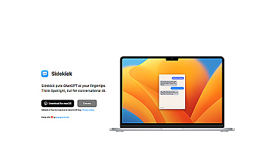
Instant access to advanced conversational AI for task assistance.
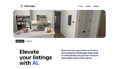
Create stunning virtual tours using just a smartphone.
Visual workspace for organizing thoughts and projects collaboratively.

Unlock insights from geolocation data for smarter decisions.
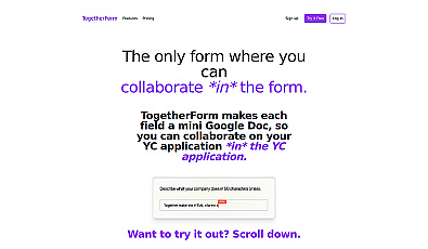
Collaborative form for real-time teamwork and data entry.
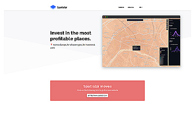
Real-time market insights for smarter real estate decisions.
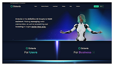
AI assistant for crypto community management and communication.

Spatial data visualization and analysis for informed decision-making.

Create stunning animations using satellite imagery.
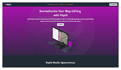
Intuitive map editing with AI-driven insights for all users.
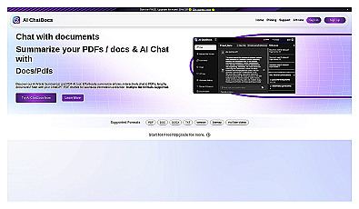
Interact with documents by chatting to extract and summarize information.