Geographic Data Analysis Tools
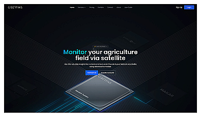
Advanced satellite imaging for agricultural field analysis.
Paid
+ from €20.00/m

Unlock insights from geolocation data for smarter decisions.
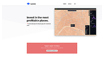
Real-time market insights for smarter real estate decisions.

Comprehensive location intelligence for businesses and applications.
Free
+ from €0.066/m

Spatial data visualization and analysis for informed decision-making.

Advanced AI for fast analysis of geospatial imagery.
Free
+ from €50/m
Related Categories
🌍 Agricultural data analytics
🌱 Crop management improvement
🌱 Crop yield monitoring
🌾 Farming efficiency
🌍 Field analysis
📈 Field management
🌾 Field nutrient assessment
🌍 Geographic research
🗺️ Geographic strategy
🌍 Geographic systems
📊 Precision monitoring
🌍 Remote soil analysis
🌳 Resource sustainability
📡 Satellite data integration
🎯 Spatial intelligence