Forest Health Monitoring Tools
Real-time image and video analysis for smarter decision-making.
Free
Expertly labeled datasets for efficient AI project development.
Paid

Intuitive map editing with AI-driven insights for all users.
Free
Automated imaging for actionable insights across industries.
Free
Advanced satellite imaging for agricultural field analysis.
Paid
+ from €20.00/m

Advanced mapping editor with AI features for accurate updates.
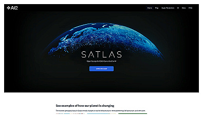
Visualize environmental changes with AI-driven geospatial data analysis.
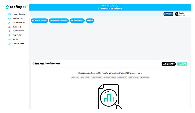
Instant roofing reports and property data at your fingertips.
Free
+ from $12/m
Related Categories
🌍 Climate adaptation strategies
🌍 Climate resilience strategies
🌊 Coastal ecosystem restoration
🌊 Coastal management practices
🌊 Coastal management strategies
🌍 Environmental policy analysis
🌳 Forest ecosystem monitoring
🌳 Habitat restoration projects
📈 Infrastructure development mapping
🌱 Renewable energy development
🌱 Renewable energy forecasting
🌱 Renewable energy initiatives
🌱 Renewable energy visualization
🌱 Sustainable development goals
🏙️ Urban development visualization