Best architectural visualization tools in 2025
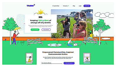
Connects communities to environmental data for informed action.

Create engaging adventure games without coding knowledge.

Create stunning virtual tours using just a smartphone.
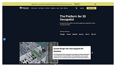
Visualize and manage 3D geospatial data effortlessly.
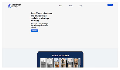
Transform sketches into realistic 3D visuals effortlessly.

Capture detailed 3D models using your smartphone effortlessly.
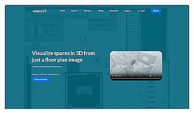
Visualize floor plans with interactive 3D modeling and collaboration.

Unlock insights from geolocation data for smarter decisions.
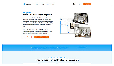
Create detailed 2D and 3D floor layouts effortlessly.

Generate stunning architectural visuals from sketches or photos in seconds.
Advanced image segmentation solution built on TensorFlow.

Streamlined software for safe, efficient mobility solutions.

A system for optimizing infrastructure and enhancing safety.
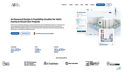
Automated design generation for architectural projects.

AI-driven insights for smart real estate investments.
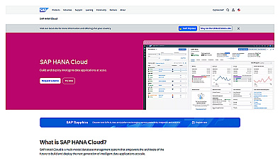
Cloud-based database for intelligent data applications and analytics.

AI-driven image analysis for precise location identification.

Create stunning animations using satellite imagery.

Real-time image analysis for accurate object detection.

Transform scans into detailed 3D building models instantly.
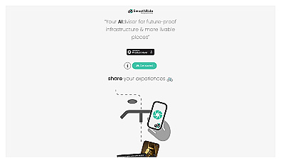
Urban planning tool promoting cyclist-friendly infrastructure improvements.

Geospatial AI for analyzing satellite and drone imagery.

Analog computing technology for fast and efficient AI processing.

Advanced mapping editor with AI features for accurate updates.

Advanced analytics for smarter public finance decision-making.