Best 3d modeling tools in 2025
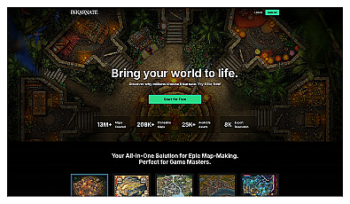
Create beautiful fantasy maps with ease and creativity.
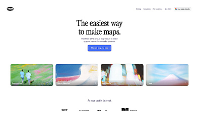
Create stunning interactive maps without coding skills.
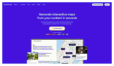
Create interactive maps from text sources quickly and easily.
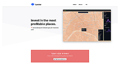
Real-time market insights for smarter real estate decisions.

Spatial data visualization and analysis for informed decision-making.
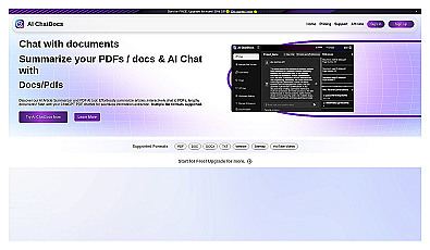
Interact with documents by chatting to extract and summarize information.
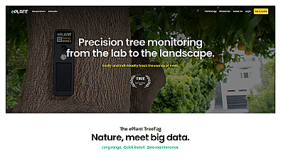
Monitor tree health and environmental conditions with advanced sensors.
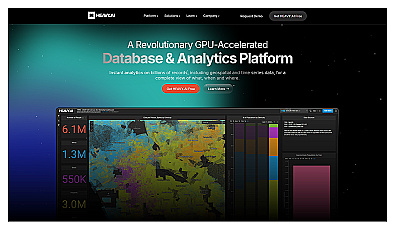
Analyze massive datasets for immediate insights and patterns.

Advanced AI for fast analysis of geospatial imagery.
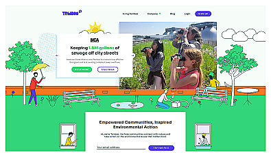
Connects communities to environmental data for informed action.
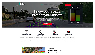
Automated road monitoring and asset management for cities.
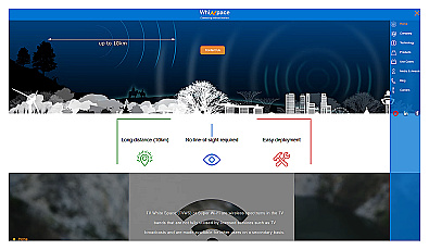
Affordable long-range internet connectivity for various applications.
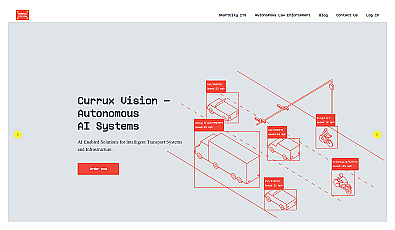
AI-powered traffic monitoring and enforcement system for cities.
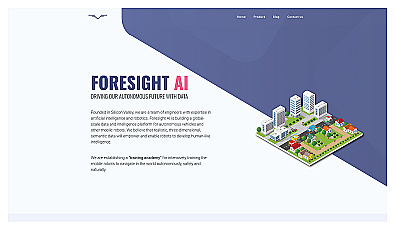
Training platform for enhancing robot navigation skills in realistic settings.

Transform scans into detailed 3D building models instantly.
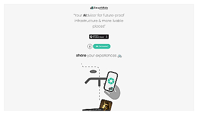
Urban planning tool promoting cyclist-friendly infrastructure improvements.