Geospatial Data Analysis Tools
Automated data extraction for streamlined document workflows.
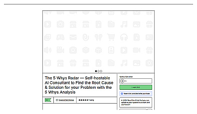
Structured method for identifying root causes of problems.

AI-driven image analysis for precise location identification.
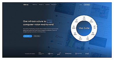
Comprehensive computer vision management system for real-time insights.
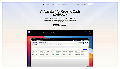
Automates order management and enhances supply chain efficiency.
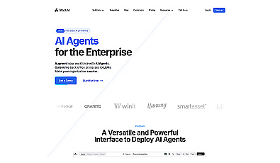
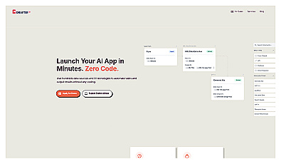
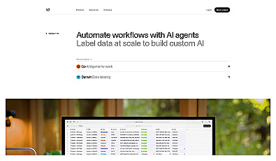
User-friendly platform for creating AI agents without coding.
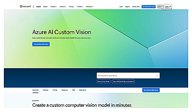
Custom image classification for tailored visual recognition.
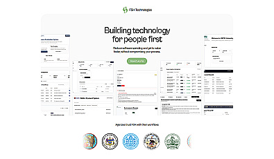
Streamlined workflow management for municipalities and organizations.
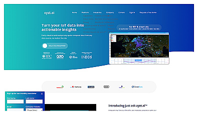
Insight platform for visualizing and analyzing IoT data.
AI-driven solutions for rapid business transformation and efficiency.
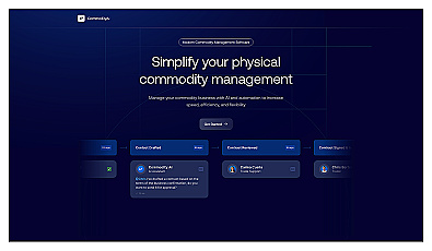
Streamline management processes in the commodity sector.
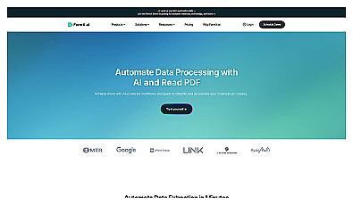
Automates data processing and labeling for improved workflows
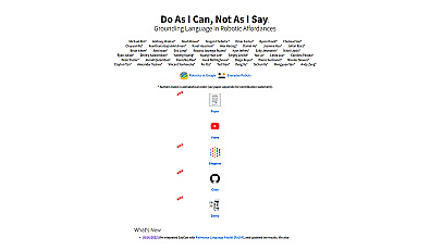
A system enabling robots to understand and act on spoken commands.
AI-driven knowledge base for enhanced decision-making and efficiency.

Efficiently manage and analyze large geospatial datasets.
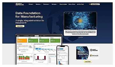
Streamlines manufacturing data for improved productivity and efficiency.
Automated imaging for actionable insights across industries.
Advanced AI for predicting and managing chronic diseases.
Intelligent agents for natural language interaction in applications.
Automated insights through machine learning for various industries.
Automates extraction of data from various documents and emails.

Advanced mapping editor with AI features for accurate updates.
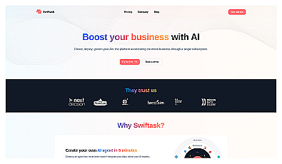
Create and manage AI agents quickly and easily.
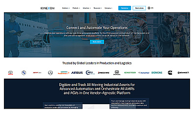
Automated asset tracking and workflow management solution.