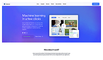
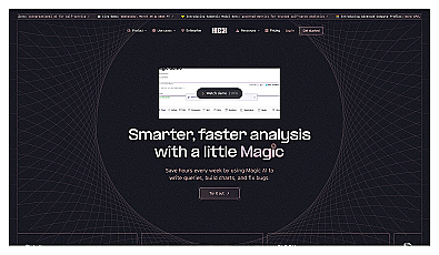
Hex.tech
Automated data analysis and visualization for all users.
Visualize environmental changes with AI-driven geospatial data analysis.
Satlas is a resource for understanding environmental impact through geospatial data analysis. It provides accessβ¦
Read more
Automated data analysis and visualization for all users.
Advanced mapping editor with AI features for accurate updates.
Collaborative data analysis for teams without coding skills.
Transform old clothing into fashionable new styles.
Data analysis platform for collaborative insights and visual reports.
Create machine learning models effortlessly without coding.
Interactive data analysis through conversational queries.
AI-driven assistant for coding in interactive notebooks.
Advanced satellite imaging for agricultural field analysis.
Streamlined data labeling for training machine learning models.
Powerful open-source search engine for data management.
Automated imaging for actionable insights across industries.
Analog computing technology for fast and efficient AI processing.
Performance enhancement through advanced training and real-time analytics.
User-friendly neural network creation for data analysis.