Water Safety Tools

Geospatial AI for analyzing satellite and drone imagery.
Subscription
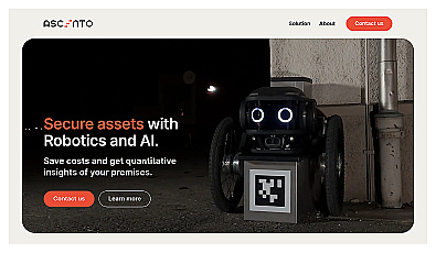
Advanced robotic security monitoring for homes and businesses.

Analog computing technology for fast and efficient AI processing.
Free
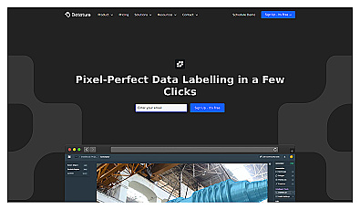
An intuitive image annotation solution for precise labeling.
Free
+ from $299/m
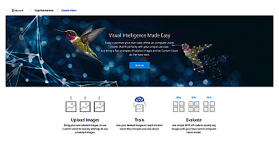
Create custom image recognition models with ease.
Free
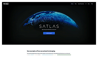
Visualize environmental changes with AI-driven geospatial data analysis.

Advanced AI for fast analysis of geospatial imagery.
Free
+ from €50/m
Related Categories
🌬️ Air monitoring systems
🌬️ Air pollution analysis
🌬️ Air quality assessment
🌬️ Air quality evaluation
🌬️ Air quality improvement
🌬️ Air quality management
🌍 Community environmental initiatives
🎉 Community partnerships
🎉 Community workshops
🌍 Environmental literacy
🌿 Environmental practices
📈 Environmental reporting
🤖 Policy advocacy
🌱 Soil health assessment
🌾 Soil health monitoring