Terrain Mapping Tools
Insight platform for visualizing and analyzing IoT data.
Subscription
A collaborative management solution for construction teams.
Paid
+ from $10k/y
Visualize floor plans with interactive 3D modeling and collaboration.
Free
+ from $99.99/m
Automated imaging for actionable insights across industries.
Free
Powerful library for computer vision tasks and image processing.

Advanced mapping editor with AI features for accurate updates.

Create stunning animations using satellite imagery.
Free
Efficient software for 3D architectural design and analysis.
Subscription

Transform scans into detailed 3D building models instantly.
No pricing info
Explore history through detailed, interactive maps.
Advanced image segmentation solution built on TensorFlow.
Free
+ from $4/m
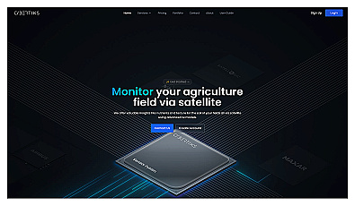
Advanced satellite imaging for agricultural field analysis.
Paid
+ from €20.00/m
Related Categories
🌱 Agricultural analysis
🌍 Environment modeling
🔍 Investigation analysis
🔍 Investigation tools
🤖 Logistics optimization
📏 Measurement solutions
🔍 Object scanning
🏬 Product solutions
🏗️ Renovation strategies
📹 Scene analysis
🎨 Space design
🏢 Space representation
🏢 Space utilization
🎨 Structural analysis
🏞️ Wildlife conservation