Real Estate Visualization Tools
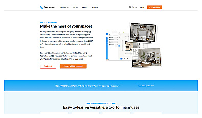
Create detailed 2D and 3D floor layouts effortlessly.
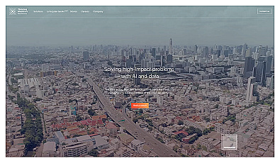
Empowers organizations with custom AI and cloud data solutions.
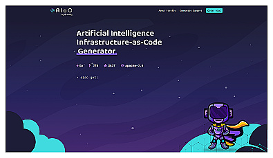
AI-powered code generator for managing infrastructure efficiently.
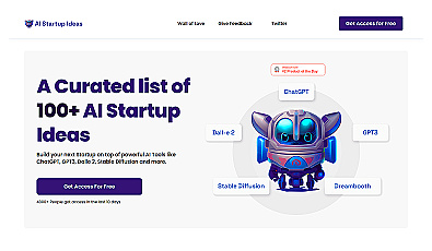
Explore innovative ideas for launching AI-driven startups.

A system for optimizing infrastructure and enhancing safety.

AI-driven predictions for crystal structure identification in pharmaceuticals.
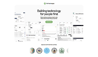
Streamlined workflow management for municipalities and organizations.
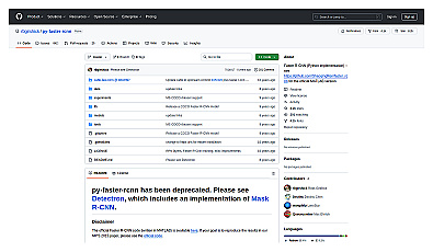
Fast and accurate object detection for computer vision tasks.

Create websites, apps, and games with simple descriptions.

Transform scans into detailed 3D building models instantly.
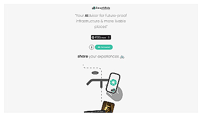
Urban planning tool promoting cyclist-friendly infrastructure improvements.

Comprehensive productivity solution for streamlined business planning.

Geospatial AI for analyzing satellite and drone imagery.
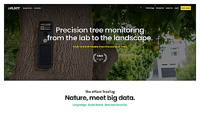
Monitor tree health and environmental conditions with advanced sensors.
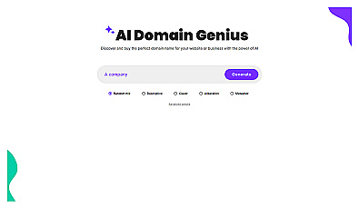
Generate creative and unique domain names effortlessly.

Tailored digital services for efficient business operations.
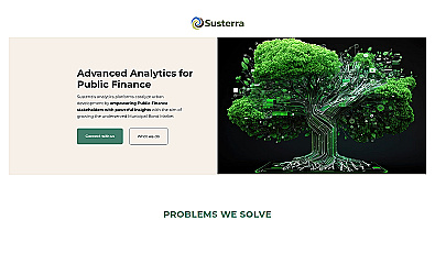
Advanced analytics for smarter public finance decision-making.
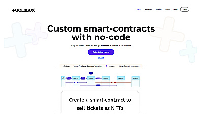
Build smart contracts without any coding knowledge.

Advanced AI for fast analysis of geospatial imagery.

AI-driven business planning with tailored strategies for entrepreneurs.
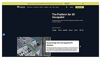
Visualize and manage 3D geospatial data effortlessly.

Create detailed 3D models of real-world spaces effortlessly.
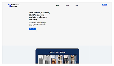
Transform sketches into realistic 3D visuals effortlessly.

Capture detailed 3D models using your smartphone effortlessly.
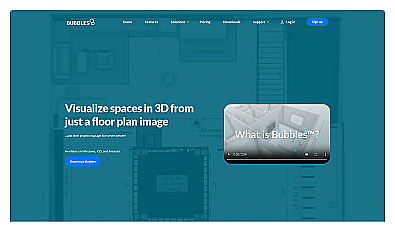
Visualize floor plans with interactive 3D modeling and collaboration.