Best open datasets tools in 2025

Spatial data visualization and analysis for informed decision-making.
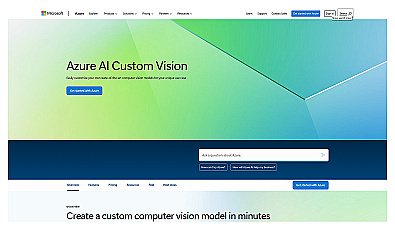
Custom image classification for tailored visual recognition.
No pricing info
open
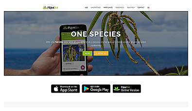
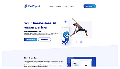
Advanced image recognition for identifying objects in photos.
Free
+ from $4.00/m
open
Automated solution for precise object identification in images and videos.
Free
+ from $4.00/m
open

Real-time image analysis for accurate object detection.
No pricing info
open

Efficiently manage and analyze large geospatial datasets.

Geospatial AI for analyzing satellite and drone imagery.
Subscription
open
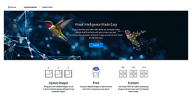
Create custom image recognition models with ease.
Free
open
Streamlined AI model training for object detection and analysis.
Free trial
+ from $20/m
open
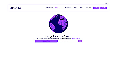
Discover where your photos were taken with intelligent geolocation.
Free
+ from $59.99/m
open

Advanced AI for fast analysis of geospatial imagery.
Free
+ from €50/m
open
Related Categories
🚀
AI technology support
🎓
Academic resource access
🌐
Analyzing multilingual data
🎓
Educational datasets access
🌱
Environmental AI
🌱
Environmental conservation
🏞️
Environmental research
🌐
Image-text dataset access
💡
Innovation in AI research
🌐
Multilingual data resources
🌐
Multilingual dataset support
🌐
Multilingual datasets
🤖
Open technologies
📚
Research data access
🎨
Visual data enhancement