Geospatial Technologies Tools

Efficiently manage and analyze large geospatial datasets.
Advanced image detection and segmentation technology for various industries.
Free
+ from $4.00/m

Advanced AI for swift visual data analysis and monitoring.
Free
Automated solution for precise object identification in images and videos.
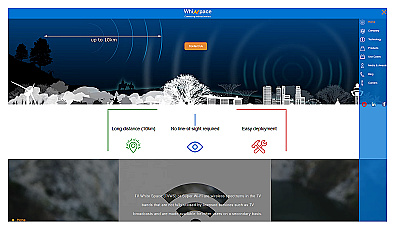
Affordable long-range internet connectivity for various applications.

AI-driven image analysis for precise location identification.
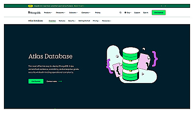
Cloud-based database designed for easy deployment and management.
Free
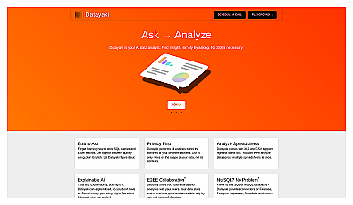
An AI-driven data analysis assistant for everyone.
No pricing info
Related Categories
🚨 Disaster response management
📋 Emergency planning
🌱 Environmental studies
🚀 Fast data access
🗺️ Geographic data
📊 Geospatial data management
📱 Location-based app integration
🗺️ Mapping service enhancement
📊 Spatial analytics
🚦 Traffic flow analysis
🚦 Traffic pattern analysis
🚌 Transport analytics
🚌 Transport systems
🦓 Wildlife data
🌍 Wildlife tracking