Geospatial Data Tools
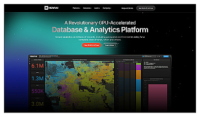
Analyze massive datasets for immediate insights and patterns.

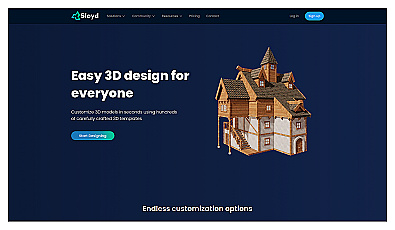
Create detailed 3D models of real-world spaces effortlessly.
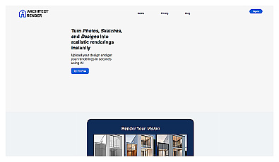
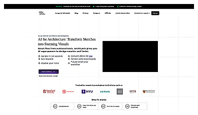
Transform sketches into realistic 3D visuals effortlessly.

Capture detailed 3D models using your smartphone effortlessly.
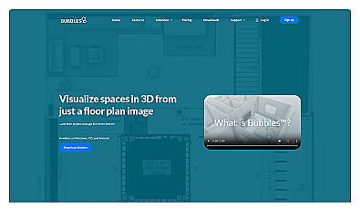
Visualize floor plans with interactive 3D modeling and collaboration.
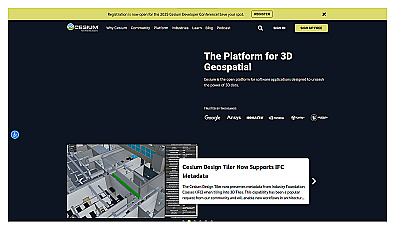
Visualize and manage 3D geospatial data effortlessly.
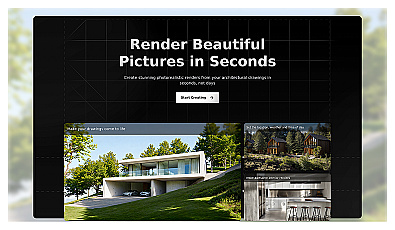
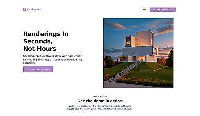
Create stunning architectural visuals from sketches in seconds.

Create immersive 2D and 3D generative environments effortlessly.

Visualize architectural designs with real-time rendering and VR.
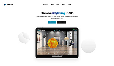
Transform your space with interactive augmented reality.
Advanced image detection and segmentation technology for various industries.
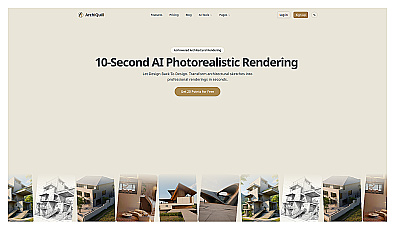
Transform sketches into stunning, lifelike architectural visuals instantly.

AI-driven design for residential architecture in minutes.
Transform flat images into captivating 3D visuals effortlessly.
Digital drawing experience using touch and AI technology.

Advanced software for 3D modeling and animation creation.

Explore and create unique architectural designs with ease.

Generate customizable 3D models quickly with text prompts.

Create stunning 3D graphics effortlessly with a web rendering engine.
Transform 2D sketches into impressive 3D models instantly.

Create engaging 3D web content effortlessly.

Create immersive 3D worlds effortlessly with a single click.
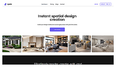
AI-driven design generator for stunning spatial layouts.