Geographic Tools For Analysis Tools
Create stunning 2D tilemaps directly in your browser.
Free
+ from $11.99/one-time

Advanced mapping editor with AI features for accurate updates.


Intuitive map editing with AI-driven insights for all users.
Free

AI-driven solutions for enhancing customer interactions.
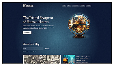
Explore history through detailed, interactive maps.
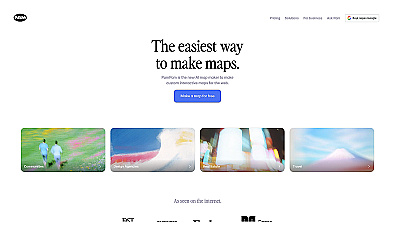
Create stunning interactive maps without coding skills.
Free
+ from $29/m
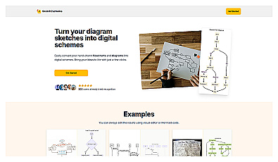
Transform sketches into polished digital diagrams effortlessly.
Paid
+ from $3.99/m
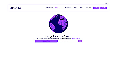
Discover where your photos were taken with intelligent geolocation.
Free
+ from $59.99/m
Related Categories
🗺️ Advanced mapping tools
🗺️ Analyze satellite imagery for planning
🗺️ Create accurate maps
🗺️ Editing maps
🗺️ Enhance mapping accuracy
🗺️ Enhance user experience in mapping
📊 Facilitate data-driven decision making
🌍 Geographic information systems
🗺️ Humanitarian mapping
🗺️ Improve mapping efficiency
🗺️ Leverage mapping technology
🗺️ Map accuracy enhancement
🗺️ Map updates
🌍 Mapping for improvement
🗺️ Simplify map editing