Environmental Data Visualization Tools

Real-time image analysis for accurate object detection.
Fast and accurate object detection for computer vision tasks.
Performance enhancement through advanced training and real-time analytics.

Efficiently manage and analyze large geospatial datasets.
Flexible convolutional filters for enhanced image analysis accuracy.

Geospatial AI for analyzing satellite and drone imagery.
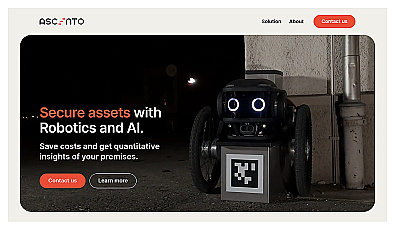
Advanced robotic security monitoring for homes and businesses.
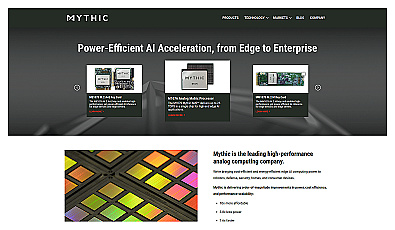
Analog computing technology for fast and efficient AI processing.
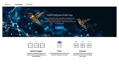
Create custom image recognition models with ease.
Transform tree management with AI-driven insights and analytics.

Advanced AI for fast analysis of geospatial imagery.
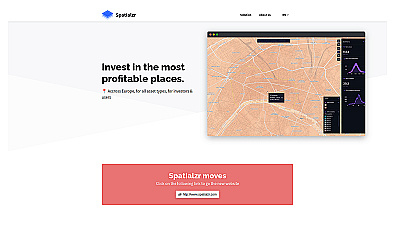
Real-time market insights for smarter real estate decisions.
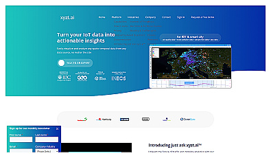
Insight platform for visualizing and analyzing IoT data.
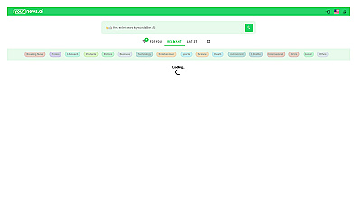
Get quick global news summaries tailored to your interests.

Discover candidates' policies and align with your values.
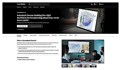
Efficient software for 3D architectural design and analysis.