Best design visualization tools in 2025

Geospatial AI for analyzing satellite and drone imagery.
Subscription
open

Advanced mapping editor with AI features for accurate updates.
Free
open
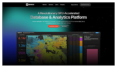
Analyze massive datasets for immediate insights and patterns.
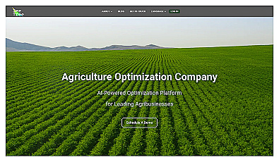
Transform tree management with AI-driven insights and analytics.
No pricing info
open

Advanced AI for fast analysis of geospatial imagery.
Free
+ from €50/m
open
Related Categories
🏢
Building analysis
🏙️
City management
🌆
City visualization
🏗️
Construction efficiency
🛠️
Construction tools
📊
Data evaluation
🌍
Environmental data
🏗️
Infrastructure planning
🌍
Mapping solutions
🏘️
Neighborhood planning
🌐
Remote analysis
🌌
Remote sensing
🛰
Satellite imagery
🗺️
Spatial visualization
🏙️
Urban research