City Visualization Tools
Streamlined project management for effective software development.
Digital solution enhancing construction project efficiency and collaboration.
Visualize and manage 3D geospatial data effortlessly.

Efficiently manage and analyze large geospatial datasets.

Advanced AI for fast analysis of geospatial imagery.
Generate stunning architectural visuals from sketches or photos in seconds.
Advanced image segmentation solution built on TensorFlow.
Budgeting tool for seamless travel planning and expense tracking.
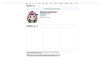
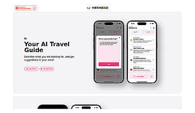
Personalized travel itinerary and recommendation assistant.
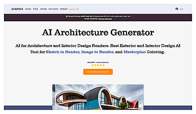
AI-driven architectural render generator for stunning visuals.
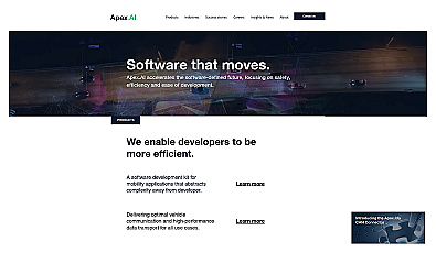
Streamlined software for safe, efficient mobility solutions.
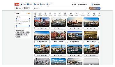
Create personalized travel itineraries that match your interests.
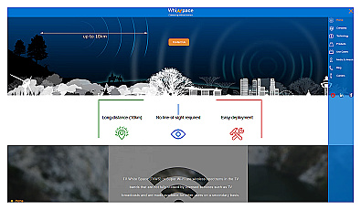
Affordable long-range internet connectivity for various applications.

Comprehensive location intelligence for businesses and applications.

AI-driven image analysis for precise location identification.
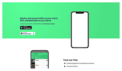
Track and document street traffic effortlessly with smart technology.
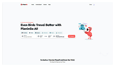
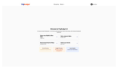
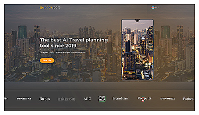
AI-driven travel planning for personalized itineraries and experiences.
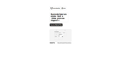
Create personalized travel plans effortlessly with smart itineraries.
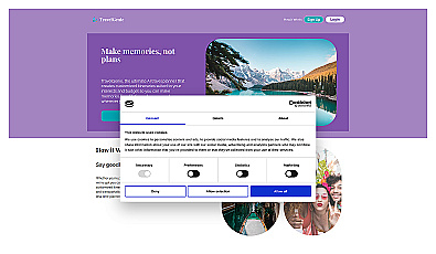
Personalized travel itineraries for stress-free planning.
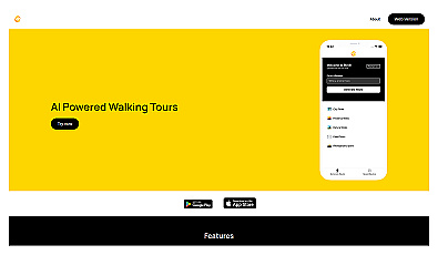
Discover personalized walking tours around the world.
Personalized travel recommendations based on user preferences.

Real-time image analysis for accurate object detection.
Plan your personalized travel adventures effortlessly.
AI-powered travel planning through chat for personalized trip ideas.

Transform scans into detailed 3D building models instantly.