Aerial Data Analysis Tools
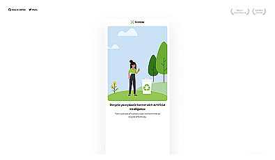
AI-powered recycling guidance for plastics made simple.

Efficient software for 3D architectural design and analysis.

Efficiently manage and analyze large geospatial datasets.

Eco-friendly electric vehicles for sustainable transportation.

Geospatial AI for analyzing satellite and drone imagery.
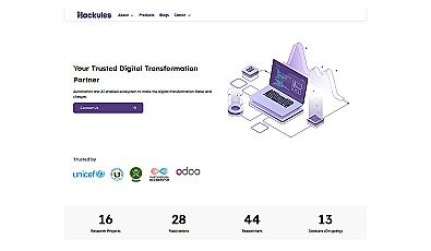
Streamlined digital transformation for organizations seeking growth.
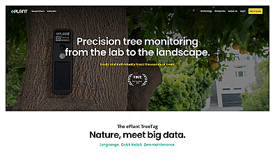
Monitor tree health and environmental conditions with advanced sensors.
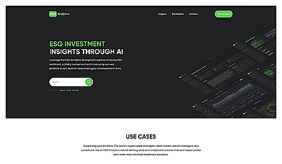
Real-time ESG scores and ratings for informed investing.
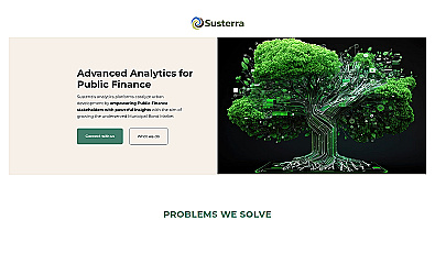
Advanced analytics for smarter public finance decision-making.

Transform old clothing into fashionable new styles.
Calculate lawn maintenance needs for a healthy yard.

Advanced AI for fast analysis of geospatial imagery.
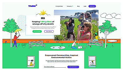
Connects communities to environmental data for informed action.

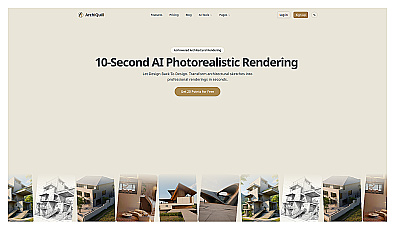
Create stunning architectural visuals from sketches in seconds.
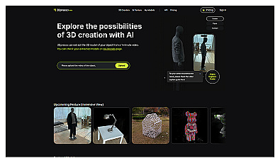
Transform videos into customizable 3D models effortlessly.
Generate customizable 3D models quickly with text prompts.

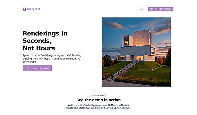
AI-driven automation for architectural workflow efficiency.

3D interior design software for stunning space visualization.
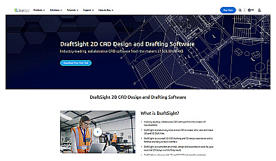
Effortlessly create and modify precise architectural and engineering designs.

Innovative architectural solutions for inspired living and working spaces.
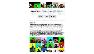
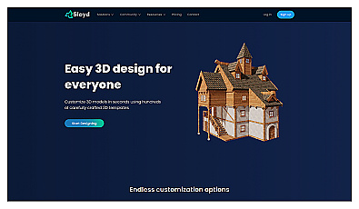
Generate realistic 3D models effortlessly from text prompts.