Aerial Data Analysis Tools
Automated task scheduling and management for improved productivity.
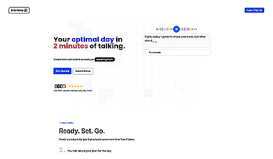
Voice-activated daily planning for enhanced productivity.
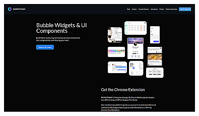
Pre-made components and templates for quick app development.
Effortlessly create stunning websites without coding.
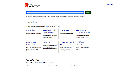
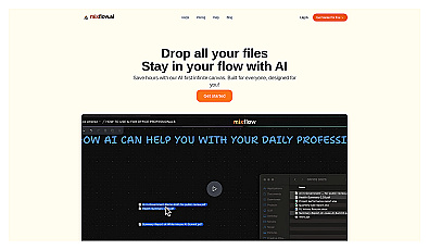
Centralized workspace for organized software development and team collaboration.
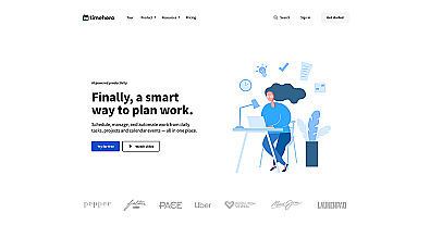
A smart assistant for organizing daily tasks and managing projects.
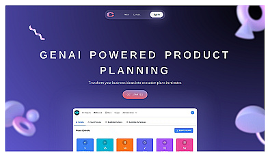
Efficiently generate structured business plans and user insights.
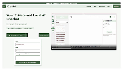
Local AI chatbot for secure, private conversations.
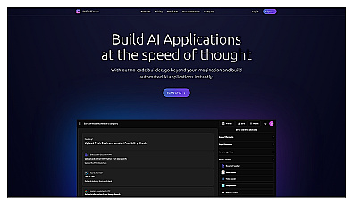
Build automated applications without coding skills.
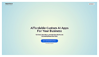
Custom AI applications for streamlined business automation.
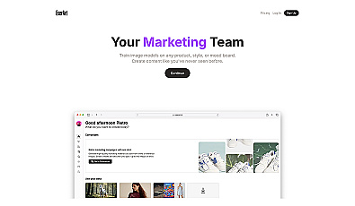
Generate stunning visuals and media effortlessly for any brand.
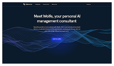
Personal AI assistant for managing workflows and decision-making.
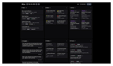
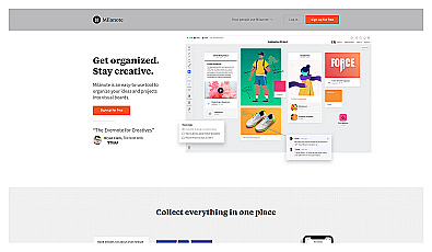
Streamlined workspace for organizing and collaborating on files.

Custom software designed for unique business needs and user experience.
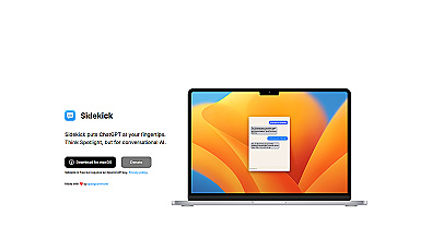
Instant access to advanced conversational AI for task assistance.
Visual workspace for organizing thoughts and projects collaboratively.
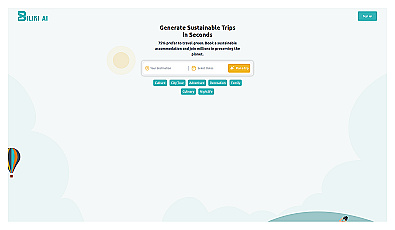
Eco-friendly travel planning for responsible explorers.
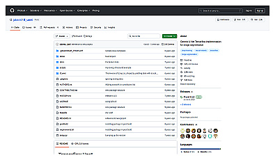
Advanced image segmentation solution built on TensorFlow.
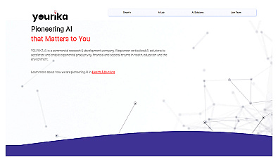
Advanced AI solutions for enhancing productivity across various sectors.

Intelligent water management and leak prevention system.

Spatial data visualization and analysis for informed decision-making.
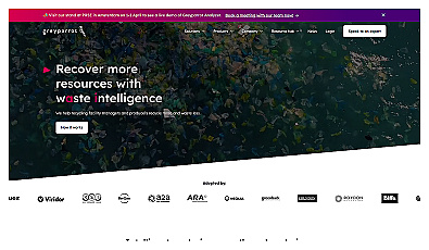
Real-time waste analysis for improved recycling efficiency.
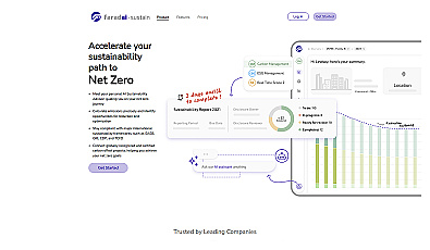
Personal AI advisor for accurate emissions tracking and reduction.
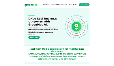
AI-driven advertising solutions for sustainable media buying.

Connect consumers with verified merchants for transparent product insights.